11 Green Park, Coventry, CV1 4DP
About 11 Green Park
11 Green Park is a detached house in Coventry (CV1 4DP). It has a recorded floor area of 144 m² (around 1550 sq ft) and construction records dating it to 2022. The latest certificate (July 2023) returns an A (score 93), the top energy band on the EPC scale.
At 144 m² the property is well over the postcode median (94 m² across 20 EPCs), placing it in the larger end of the local stock. Last sale on file: £395,000 in August 2023.
Know exactly what you're buying at 11 Green Park
Before you offer, see what the listing won't tell you, the true value, the red flags and the full history.
Already flagged here
Valuation
against the asking price
Risks
planning & flood
Sold prices
similar homes nearby
Trends
the local market
Energy performance
11 Green Park's carbon output is low for the local stock.
EPC Rating
Planning history
11 Green Park has no planning applications on record.
Notable planning nearby
21applications of note in the surrounding area
We flagged 2 things worth checking at 11 Green Park
Independent checks surfaced things a buyer would want to understand before offering. The report explains each one in full, with the underlying data and what to ask.
- Signs of HMO activity in the area
- Larger development activity nearby
30-day money-back guarantee
Sales history & valuation
11 Green Park valuation sits well clear of the typical sold price in this postcode.
£426,000
Modelled from EPC, postcode comparables.
£395,000
Recorded with HM Land Registry.
Sales timeline
22 August 2023Most recent
£395,000
Median price across the last 5 sales in CV1 4DP: £315,000 (2025–2023).
Everything we know about 11 Green Park, in one report
What it's really worth, what could be wrong, and the planning, sales and area data in full.
What we flagged
- Signs of HMO activity in the area
- Larger development activity nearby

Versus other Green Park homes
11 Green Park is notably below the street on price per m².
Price per m²
£2,743
Street avg £3,109
Floor Area
144 m²
Street avg 107 m²
CO₂ Emissions
1.0 t/year
Street avg 0.7 t/year
Years Held
3 years
Street avg 3 years
Similar properties nearby
The neighbourhood at a glance
Reported crime in the wider district is trending notably upward year-on-year.
Crime
11/mo
Rising year-on-year across the wider district.
Nearest stop
1.4 km
Coventry Rail Station — railway station.
Closest school
0.2 km
Barr's Hill School. 41 schools nearby.
Go deeper on the local area
The full report breaks down crime, transport links, schools and air quality in depth.
Road noise across the postcode
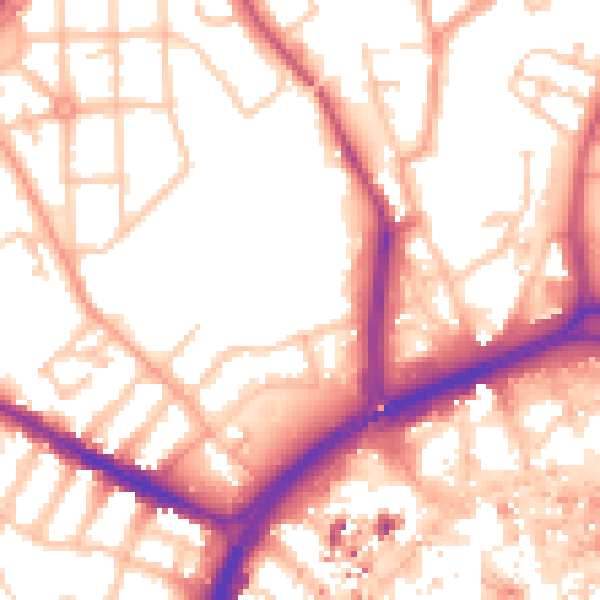
Daytime· 07:00 – 23:00
54.8dB

Night-time· 23:00 – 07:00
44.9dB