9 Ashby Walk, Croydon, CR0 2QX
About 9 Ashby Walk
9 Ashby Walk is an end-of-terrace house in Croydon (CR0 2QX). It has a recorded floor area of 80 m² (around 861 sq ft), construction records dating it to 1976-1982 and council tax band C. The latest certificate (April 2012) shows a D (score 58), a step below the typical UK home. The recommended improvements would lift it to B (score 85), a 2-band jump. The latest certificate is from April 2012, so improvements made since then won't be reflected.
Today's modelled estimate of £305,000 sits 72.3% above the 2012 sale of £177,000. It lags the bulk of the postcode on energy efficiency (less efficient than 75% of similar EPCs). Last sold in September 2012, so it's been off the market for around 14 years.
Everything you need to know about 9 Ashby Walk
The true value, the hidden risks and the full sale history, in one report.
30-day money-back guarantee

The data behind every report


Energy performance
Recommended upgrades on file would lift this property by multiple EPC bands.
EPC Expired
This certificate is over 10 years old and is no longer valid.Expired 25 Apr 2022
EPC Rating
Planning history
9 Ashby Walk has no planning applications on record.
Notable planning nearby
64applications of note in the surrounding area
We flagged 2 things worth checking at 9 Ashby Walk
Independent checks surfaced things a buyer would want to understand before offering. The report explains each one in full, with the underlying data and what to ask.
- Signs of HMO activity in the area
- Larger development activity nearby
30-day money-back guarantee
Sales history & valuation
9 Ashby Walk valuation sits well clear of the typical sold price in this postcode.
£305,000
Modelled from EPC, postcode comparables.
£177,000
Recorded with HM Land Registry.
Sales timeline
13 September 2012Most recent
£177,000
Median price across the last 5 sales in CR0 2QX: £330,000 (2023–2006).
Versus other Ashby Walk homes
9 Ashby Walk is notably below the street on price per m².
Price per m²
£2,213
Street avg £4,014
Floor Area
80 m²
Street avg 78 m²
Habitable Rooms
3 rooms
Street avg 3 rooms
CO₂ Emissions
4.1 t/year
Street avg 2.6 t/year
Everything you need to know about 9 Ashby Walk
The true value, the hidden risks and the full sale history, in one report.
30-day money-back guarantee
The data behind every report
Similar properties nearby
The neighbourhood at a glance
Crime
6/mo
Steady year-on-year across the wider district.
Nearest stop
0.1 km
Windmill Road — bus stop.
Closest school
0.5 km
Elmwood Junior School. 58 schools nearby.
Go deeper on the local area
The full report breaks down crime, transport links, schools and air quality in depth.
Road noise across the postcode
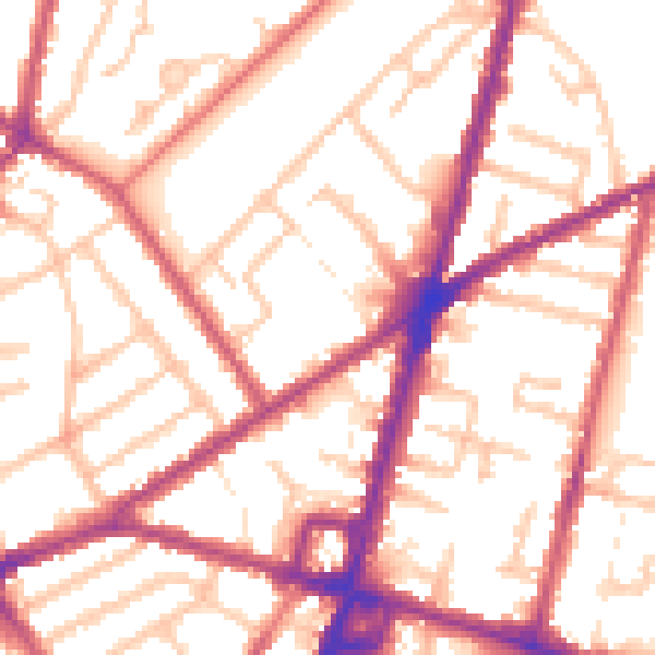
Daytime· 07:00 – 23:00
54.4dB

Night-time· 23:00 – 07:00
44.6dB