24 Birchwood Drive, Colchester, CO4 6AW
About 24 Birchwood Drive
24 Birchwood Drive is a mid-terrace house in Colchester (CO4 6AW). It has a recorded floor area of 65 m² (around 700 sq ft). The latest certificate (May 2018) returns a B (score 84), comfortably above the UK average. The recommended improvements would push it to A (score 98).
Last sold in May 2018, so it's been off the market for around 8 years. At 65 m² it's 22.6% smaller than the typical home in the postcode (84 m² median across 45 EPCs). Today's modelled estimate of £294,000 is 15.3% above the 2018 sale price.
Know exactly what you're buying at 24 Birchwood Drive
Before you offer, see what the listing won't tell you, the true value, the red flags and the full history.
Valuation
against the asking price
Risks
planning & flood
Sold prices
similar homes nearby
Trends
the local market
Energy performance
24 Birchwood Drive's carbon output is low for the local stock.
EPC Rating
Planning history
24 Birchwood Drive has no planning applications on record.
The full report still covers planning activity across the surrounding area.
Sales history & valuation
£294,000
Modelled from EPC, postcode comparables.
£254,995
Recorded with HM Land Registry.
Sales timeline
30 May 2018Most recent
£254,995
Median price across the last 5 sales in CO4 6AW: £450,000 (2025–2024).
Nearby sales in CO4 6AW
31 Birchwood Drive, Colchester, CO4 6AW
Sold Aug 2025
£465,00018 Birchwood Drive, Colchester, CO4 6AW
Sold Mar 2025
£360,00016 Birchwood Drive, Colchester, CO4 6AW
Sold Mar 2025
£297,50025 Birchwood Drive, Colchester, CO4 6AW
Sold Feb 2025
£452,00037 Birchwood Drive, Colchester, CO4 6AW
Sold Jul 2024
£450,000
Everything we know about 24 Birchwood Drive, in one report
What it's really worth, what could be wrong, and the planning, sales and area data in full.
- Am I paying too much?
- Is something wrong with it?
- Is the agent's story true?
- Will it hold its value?

Versus other Birchwood Drive homes
CO₂ Emissions for 24 Birchwood Drive runs comfortably ahead of the street norm.
Price per m²
£3,923
Street avg £3,754
Floor Area
65 m²
Street avg 96 m²
CO₂ Emissions
0.9 t/year
Street avg 1.4 t/year
Years Held
8 years
Street avg 6 years
Similar properties nearby
The neighbourhood at a glance
Crime
5/mo
Steady year-on-year across the wider district.
Nearest stop
0.1 km
Middle Stop — bus stop.
Closest school
0.3 km
Myland Community Primary School. 17 schools nearby.
Go deeper on the local area
The full report breaks down crime, transport links, schools and air quality in depth.
Road noise across the postcode
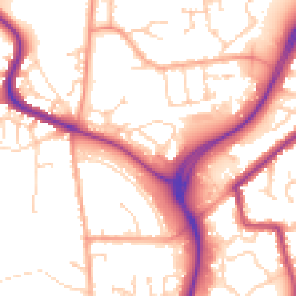
Daytime· 07:00 – 23:00
54.6dB

Night-time· 23:00 – 07:00
45.0dB