2 Chesterwell Mews, Boxted Road, Mile End, Colchester, CO4 5FX
About 2 Chesterwell Mews
2 Chesterwell Mews is a two-bedroom property in Mile End, Colchester, Colchester (CO4 5FX). It has council tax band E. The property has an EV charger on record, all of which lower running costs and tend to lift resale appeal. Other recorded features include a conservatory and outbuildings. Our model identifies extension potential, subject to local planning policy.
It hasn't traded since May 2005, a hold of 21 years that's notably long for the area.
Know exactly what you're buying at 2 Chesterwell Mews
Before you offer, see what the listing won't tell you, the true value, the red flags and the full history.
Already flagged here
Valuation
against the asking price
Risks
planning & flood
Sold prices
similar homes nearby
Trends
the local market
What this property has
Inside
- Bedrooms2
- Bathrooms2
- StudyYes
- ConservatoryYes
Outside
- GarageYes
- OutbuildingsYes
Building
- EV chargerYes
- RefurbishedYes
- Extension potentialPossible
Energy performance
No EPC on record
This property doesn't have an Energy Performance Certificate yet. An EPC is required to sell or let — and unlocks our automated valuation.
Planning history
2 Chesterwell Mews has no planning applications on record.
Notable planning nearby
14applications of note in the surrounding area
We flagged 2 things worth checking at 2 Chesterwell Mews
Independent checks surfaced things a buyer would want to understand before offering. The report explains each one in full, with the underlying data and what to ask.
- Signs of HMO activity in the area
- Larger development activity nearby
30-day money-back guarantee
Sales history & valuation
£280,000
Recorded with HM Land Registry.
Sales timeline
30 May 2005Most recent
£280,000
Median price across the last 5 sales in CO4 5FX: £300,000 (2006–2005).
Nearby sales in CO4 5FX
3 Chesterwell Mews, Boxted Road, Mile End, Colchester, CO4 5FX
Sold May 2006
£250,0004 Chesterwell Mews, Boxted Road, Mile End, Colchester, CO4 5FX
Sold Mar 2006
£250,0005 Chesterwell Mews, Boxted Road, Mile End, Colchester, CO4 5FX
Sold Sept 2005
£300,0006 Chesterwell Mews, Boxted Road, Mile End, Colchester, CO4 5FX
Sold Aug 2005
£320,0001 Chesterwell Mews, Boxted Road, Mile End, Colchester, CO4 5FX
Sold Jun 2005
£320,000
Everything we know about 2 Chesterwell Mews, in one report
What it's really worth, what could be wrong, and the planning, sales and area data in full.
What we flagged
- Signs of HMO activity in the area
- Larger development activity nearby

Similar properties nearby
The neighbourhood at a glance
Crime
5/mo
Steady year-on-year across the wider district.
Nearest stop
0.2 km
Whitmore Drive — bus stop.
Closest school
0.7 km
Camulos Academy. 13 schools nearby.
Go deeper on the local area
The full report breaks down crime, transport links, schools and air quality in depth.
Road noise across the postcode
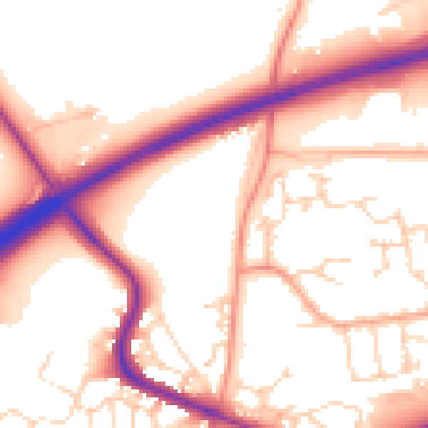
Daytime· 07:00 – 23:00
55.4dB

Night-time· 23:00 – 07:00
46.7dB