3 Pleasant Plains Mews, Mile End, Colchester, CO4 5FB
About 3 Pleasant Plains Mews
3 Pleasant Plains Mews is a three-bedroom detached house in Mile End, Colchester, Colchester (CO4 5FB). It has a recorded floor area of 89 m² (around 961 sq ft) and council tax band E. The latest certificate (January 2012) returns a B (score 81), comfortably above the UK average. The latest certificate is from January 2012, so improvements made since then won't be reflected. Other recorded features include a conservatory.
Across 2012–2014, sale prices on this property compounded at 5.5% per year. Today's modelled estimate of £484,000 sits 58.2% above the 2014 sale of £306,000. Last changed hands 12 years ago, in May 2014.
Know exactly what you're buying at 3 Pleasant Plains Mews
Before you offer, see what the listing won't tell you, the true value, the red flags and the full history.
Already flagged here
Valuation
against the asking price
Risks
planning & flood
Sold prices
similar homes nearby
Trends
the local market
What this property has
Inside
- Bedrooms3
- Dining roomYes
- EnsuiteYes
- ConservatoryYes
Outside
- Private gardenFront and rear
- GarageYes
Building
- RefurbishedYes
Energy performance
3 Pleasant Plains Mews's EPC is over a decade old — improvements since won't be reflected.
EPC Expired
This certificate is over 10 years old and is no longer valid.Expired 20 Jan 2022
EPC Rating
Planning history
3 Pleasant Plains Mews has no planning applications on record.
Notable planning nearby
14applications of note in the surrounding area
We flagged 2 things worth checking at 3 Pleasant Plains Mews
Independent checks surfaced things a buyer would want to understand before offering. The report explains each one in full, with the underlying data and what to ask.
- Signs of HMO activity in the area
- Larger development activity nearby
30-day money-back guarantee
Sales history & valuation
3 Pleasant Plains Mews valuation sits well clear of the typical sold price in this postcode.
£484,000
Modelled from EPC, postcode comparables and a sale-price growth of 5.5% per year over 2 years.
£306,000
Growth on file: 5.5% per year over 2 years.
Sales timeline
1 May 2014Most recent
£306,000
+11.7%over 2 years3 April 2012
£274,000
Median price across the last 5 sales in CO4 5FB: £295,000 (2025–2012).
Nearby sales in CO4 5FB
Everything we know about 3 Pleasant Plains Mews, in one report
What it's really worth, what could be wrong, and the planning, sales and area data in full.
What we flagged
- Signs of HMO activity in the area
- Larger development activity nearby

Versus other Pleasant Plains Mews homes
On years held, 3 Pleasant Plains Mews runs well behind the street norm.
Price per m²
£3,427
Street avg £4,316
Floor Area
89 m²
Street avg 85 m²
CO₂ Emissions
1.7 t/year
Street avg 2.0 t/year
Years Held
12 years
Street avg 10 years
Similar properties nearby
The neighbourhood at a glance
Crime
5/mo
Steady year-on-year across the wider district.
Nearest stop
0.1 km
Whitmore Drive — bus stop.
Closest school
0.7 km
Camulos Academy. 13 schools nearby.
Go deeper on the local area
The full report breaks down crime, transport links, schools and air quality in depth.
Road noise across the postcode
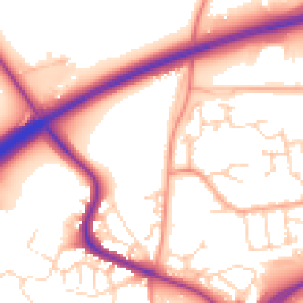
Daytime· 07:00 – 23:00
55.7dB

Night-time· 23:00 – 07:00
46.9dB