1 Swallow Close, Layer De La Haye, Colchester, CO2 0LW
About 1 Swallow Close
1 Swallow Close is a detached house in Layer-De-La-Haye, Colchester, Colchester (CO2 0LW). It has a recorded floor area of 103 m² (around 1109 sq ft), construction records dating it to 1976-1982 and council tax band D. The latest certificate (May 2025) shows a C (score 70). The recommended improvements would push it to B (score 84).
It changed hands recently, sold June 2025 for £450,000. At 103 m² it sits well below the postcode median (161 m² across 3 EPCs), making it one of the more compact homes locally. On a £-per-square-foot basis, the last sale (£406/sq ft) was about 61% above the typical sold price in the postcode.
Everything you need to know about 1 Swallow Close
The true value, the hidden risks and the full sale history, in one report.
Pick your report · every report is £14.99
One time fee only - money back guarantee

The data behind every report


Energy performance
EPC Rating
Get a survey for this property
Level 2 HomeBuyer Report
We've checked 10 risk factors against the available data for this property and believe a Level 2 HomeBuyer Report could be a suitable option for you.
From £695 · Includes VAT
Planning history
1 Swallow Close has no planning applications on record.
But the area is active
1 notable application nearby — larger schemes and conversions that could reshape the street. The report maps them all.
Sales history & valuation
1 Swallow Close valuation sits well clear of the typical sold price in this postcode.
£483,000
Modelled from EPC, postcode comparables.
£450,000
Recorded with HM Land Registry.
Sales timeline
26 June 2025Most recent
£450,000
Median price across the last 5 sales in CO2 0LW: £367,500 (2022–2015).
Versus other Swallow Close homes
1 Swallow Close is notably below the street on floor area.
EPC Rating
70 (C)
Street avg 67 (D)
Floor Area
103 m²
Street avg 144 m²
CO₂ Emissions
3.5 t/year
Street avg 5.3 t/year
Habitable Rooms
4 rooms
Street avg 7 rooms
Everything you need to know about 1 Swallow Close
The true value, the hidden risks and the full sale history, in one report.
Pick your report · every report is £14.99
One time fee only - money back guarantee
The data behind every report
Similar properties nearby
1 Hillfield Cottages, Layer Breton
CO2 0PS
1 Church Road, Layer De La Haye
CO2 0EN
1 Chancery Grove, Mersea Road, Blackheath
CO2 0BQ
1 Eldred Cottages, Olivers Lane
CO2 0HJ
1 Greate House Farm Road, Layer De La Haye
CO2 0LP
1 Birch Way, Birch
CO2 0NQ
1 Ash Grove
CO2 0AH
1 Birch Road, Layer De La Haye
CO2 0EL
The neighbourhood at a glance
Reported crime in the wider district is trending notably upward year-on-year.
Crime
5/mo
Rising year-on-year across the wider district.
Nearest stop
0.0 km
Hawfinch Road — bus stop.
Closest school
0.3 km
Layer-de-la-Haye Church of England Voluntary Controlled Primary School. 4 schools nearby.
Go deeper on the local area
A Local Area report breaks down crime, transport links, schools and air quality in depth.
Road noise across the postcode
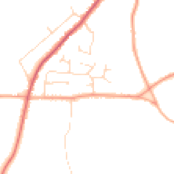
Daytime· 07:00 – 23:00
45.6dB

Night-time· 23:00 – 07:00
37.7dB