11 Walden Way, Frinton On Sea, CO13 0BJ
About 11 Walden Way
11 Walden Way is a two-bedroom semi-detached house in Frinton On Sea (CO13 0BJ). It has a recorded floor area of 92 m² (around 990 sq ft), construction records dating it to 1950-1966 and council tax band C. The latest certificate (February 2015) shows a C (score 69), just inside the C band. When first surveyed in April 2013 the rating was D, the property has climbed 1 band since. Between certificates, roof efficiency went from Poor to Good, window efficiency went from Poor to Good and lighting went from Very Poor to Very Good. The recommended improvements would push it to B (score 85). The latest certificate is from February 2015, so improvements made since then won't be reflected. Other recorded features include a conservatory.
At 92 m² the property is well over the postcode median (68 m² across 12 EPCs), placing it in the larger end of the local stock. On energy efficiency it sits in the top 10% of properties in this postcode. Today's modelled estimate of £284,000 sits 79.2% above the 2014 sale of £158,500. On a £-per-square-foot basis, the last sale (£160/sq ft) was about 33.8% below the postcode norm. 3 planning records sit against the property, 2 approved, 1 refused. Past consents include an extension and partial demolition, meaningful when judging how the property has evolved. Last changed hands 12 years ago, in January 2014.
Know exactly what you're buying at 11 Walden Way
Before you offer, see what the listing won't tell you, the true value, the red flags and the full history.
Already flagged here
Valuation
against the asking price
Risks
planning & flood
Sold prices
similar homes nearby
Trends
the local market
What this property has
Inside
- Bedrooms2
- CloakroomYes
- ConservatoryYes
Outside
- Private gardenYes
Building
- Heating systemGas
Energy performance
11 Walden Way ranks among the most efficient homes in the postcode for energy use.
EPC Expired
This certificate is over 10 years old and is no longer valid.Expired 25 Feb 2025
EPC Rating
Property Improvements
Changes detected from historical EPC data
Windows upgraded, improving insulation
Roof insulation improved
More low energy lighting installed
Planning history
Planning history includes recorded demolition works, indicating a major rebuild phase at this address.
- Feb 2017ExtensionFullIn report
Extension and alteration.
- Documents
- 12 docs on file
- Reference
- 16/02069/FUL
- Apr 2014DemolitionFullIn report
Extension: Single storey · Rear of property
Single storey rear extension (following demolish of existing conservatory).
Extension- Documents
- 11 docs on file
- Reference
- 14/00262/FUL
We flagged 1 thing worth checking at 11 Walden Way
Independent checks surfaced things a buyer would want to understand before offering. The report explains each one in full, with the underlying data and what to ask.
- Larger development activity nearby
30-day money-back guarantee
Sales history & valuation
11 Walden Way valuation sits well clear of the typical sold price in this postcode.
£284,000
Modelled from EPC, postcode comparables.
£158,500
Recorded with HM Land Registry.
Sales timeline
24 January 2014Most recent
£158,500
Median price across the last 5 sales in CO13 0BJ: £242,500 (2022–2013).
Nearby sales in CO13 0BJ
Everything we know about 11 Walden Way, in one report
What it's really worth, what could be wrong, and the planning, sales and area data in full.
What we flagged
- Larger development activity nearby

Versus other Walden Way homes
On epc rating, 11 Walden Way stands well clear of the street.
Price per m²
£1,723
Street avg £3,163
Floor Area
92 m²
Street avg 67 m²
Habitable Rooms
5 rooms
Street avg 4 rooms
CO₂ Emissions
3.0 t/year
Street avg 3.0 t/year
Similar properties nearby
1 Beechcroft Avenue, Kirby Cross
CO13 0QL
1 Bernard Close, Kirby Cross
CO13 0TP
1 Avocet Close
CO13 0UX
1 Beverley Drive, Kirby Cross
CO13 0UE
1 Brent Close
CO13 0UT
1 Bardfield Way
CO13 0AN
1 Ashmole Drive, Kirby Cross
CO13 0RX
1 Bushell Way, Kirby Cross
CO13 0TW
The neighbourhood at a glance
Rail-style transport is unusually close for this postcode.
Crime
1/mo
Steady year-on-year across the wider district.
Nearest stop
0.2 km
Walton Road Playing Fields — bus stop.
Closest school
0.4 km
Lift Tendring. 5 schools nearby.
Go deeper on the local area
The full report breaks down crime, transport links, schools and air quality in depth.
Road noise across the postcode
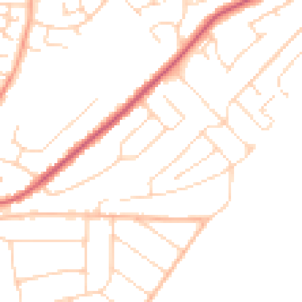
Daytime· 07:00 – 23:00
47.8dB

Night-time· 23:00 – 07:00
38.4dB