13 Bedwell Road, Ugley, Bishop's Stortford, CM22 6HG
About 13 Bedwell Road
13 Bedwell Road is a semi-detached house in Bishop's Stortford (CM22 6HG). It has a recorded floor area of 101 m² (around 1087 sq ft), construction records dating it to 1930-1949 and council tax band D. The latest certificate (May 2023) shows a D (score 62), on the cusp of jumping into the C band. The recommended improvements would push it to C (score 79).
2 planning records sit against the property, 1 approved, 1 refused. Past consents include an annexe, meaningful when judging how the property has evolved. Today's modelled estimate of £451,000 is 20.3% above the 2023 sale price. Most recent transfer: May 2023 at £375,000.
Know exactly what you're buying at 13 Bedwell Road
Before you offer, see what the listing won't tell you, the true value, the red flags and the full history.
Already flagged here
Valuation
against the asking price
Risks
planning & flood
Sold prices
similar homes nearby
Trends
the local market
Energy performance
EPC Rating
Planning history
A an annexe application was refused at 13 Bedwell Road in 2022.
- Apr 2022AnnexFullIn report
Single storey annexe and internal alterations to host dwelling
- Agent
- TAB Architecture
- Documents
- 15 docs on file
- Reference
- UTT/22/0631/HHF
- Jan 2022AnnexFullIn report
Single storey annexe, detached garage/store and Internal alterations to host dwelling.
- Agent
- TAB Architecture
Extension- Documents
- 18 docs on file
- Reference
- UTT/21/3391/HHF
We flagged 1 thing worth checking at 13 Bedwell Road
Independent checks surfaced things a buyer would want to understand before offering. The report explains each one in full, with the underlying data and what to ask.
- Larger development activity nearby
30-day money-back guarantee
Sales history & valuation
£451,000
Modelled from EPC, postcode comparables.
£375,000
Recorded with HM Land Registry.
Sales timeline
23 May 2023Most recent
£375,000
Median price across the last 5 sales in CM22 6HG: £410,000 (2025–2021).
Nearby sales in CM22 6HG
29 Bedwell Road, Ugley, Bishop's Stortford, CM22 6HG
Sold Jul 2025
£550,00015 Bedwell Road, Ugley, Bishop's Stortford, CM22 6HG
Sold May 2023
£437,0008 Bedwell Road, Ugley, Bishop's Stortford, CM22 6HG
Sold Aug 2021
£370,00023 Bedwell Road, Ugley, Bishop's Stortford, CM22 6HG
Sold Mar 2021
£410,00027 Bedwell Road, Ugley, Bishop's Stortford, CM22 6HG
Sold Mar 2021
£405,000
Everything we know about 13 Bedwell Road, in one report
What it's really worth, what could be wrong, and the planning, sales and area data in full.
What we flagged
- Larger development activity nearby

Versus other Bedwell Road homes
Years Held for 13 Bedwell Road lags the street by a wide margin.
Price per m²
£3,713
Street avg £4,227
Floor Area
101 m²
Street avg 100 m²
Habitable Rooms
6 rooms
Street avg 5 rooms
CO₂ Emissions
5.5 t/year
Street avg 5.2 t/year
Similar properties nearby
1 Blackhouse Villas, Bush End, Takeley
CM22 6NJ
1 Cambridge Cottages, Brewers End, Takeley
CM22 6QH
1 Alsa Leys, Elsenham
CM22 6JS
1 Alsa Gardens, Elsenham
CM22 6HD
1 Bailey Close, Elsenham
CM22 6UL
1 Arcadia Villas, Dellows Lane, Ugley
CM22 6HN
1 Burnt House Villas, School Lane, Takeley
CM22 6PJ
1 Cambridge Walk, Henham
CM22 6UE
The neighbourhood at a glance
Rail-style transport is unusually close for this postcode.
Crime
2/mo
Steady year-on-year across the wider district.
Nearest stop
0.1 km
Jenkins Drive — bus stop.
Closest school
1.1 km
Elsenham Church of England Voluntary Controlled Primary School. 4 schools nearby.
Go deeper on the local area
The full report breaks down crime, transport links, schools and air quality in depth.
Road noise across the postcode
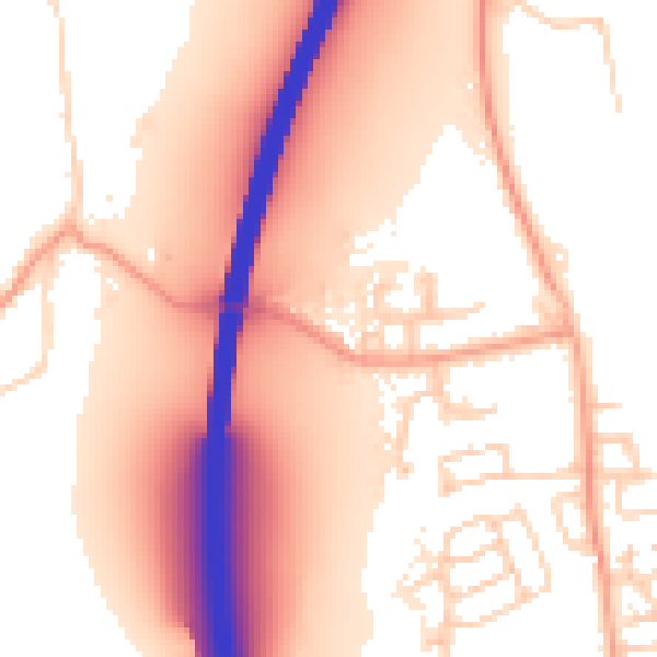
Daytime· 07:00 – 23:00
56.6dB
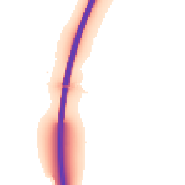
Night-time· 23:00 – 07:00
50.7dB