Are you a property professional?Get qualified leads from motivated homeowners.
Get started3 Monks Chase, Ingrave, Brentwood, CM13 3QU
4 sales on record
About 3 Monks Chase
A plain-English summary derived from public records, EPC certificates, sold prices and local data.
3 Monks Chase is a five-bedroom detached house in Ingrave, Brentwood, Brentwood (CM13 3QU). It has a recorded floor area of 72 m² (around 774 sq ft), construction records dating it to 1930-1949 and council tax band E. The latest certificate (March 2011) shows an F (score 29), near the bottom of the EPC scale. The recommended improvements would lift it to D (score 56), a 2-band jump. The latest certificate is from March 2011, so improvements made since then won't be reflected. The property has underfloor heating on record, all of which lower running costs and tend to lift resale appeal. Records show the property has been extended at some point in its history. The home occupies a cul-de-sac position.
Sale prices here have outpaced Brentwood HPI: 18.7% per year against 0% for the wider region. Today's modelled estimate of £975,000 is 26.6% above the 2018 sale price. On a £-per-square-foot basis, the last sale (£995/sq ft) was about 79.5% above the typical sold price in the postcode. Most recent transfer: November 2018 at £770,000. Across the public record there are 4 sales, relatively high churn for a single property. 6 planning records sit against the property, 4 approved, 2 refused. Past consents include an extension, a loft conversion, a garage conversion and a porch, meaningful when judging how the property has evolved. 5 bedrooms is on the larger side for this postcode, where 3 is the typical count.
What this property has
Pulled from EPC certificates, claim submissions and our property model. Empty categories are hidden — we only show what's known.
Inside
- Bedrooms5
- Bathrooms3
- Open-plan layoutYes
- EnsuiteYes
Energy performance
Every EPC certificate filed against this property — current rating, recorded improvements, and where there's headroom to reach a higher band.
3 Monks Chase's carbon output runs well above what efficient homes in the postcode produce.
EPC Expired
This certificate is over 10 years old and is no longer valid.Expired 10 Mar 2021
Planning history
Applications and permits filed against 3 Monks Chase, Ingrave, Brentwood, CM13 3QU, sourced from the PlanIt planning register.
3 Monks Chase has been through 4 approved planning applications — a well-evolved property.
- Dec 2013ConditionsGranted
Details of conditions 5 (Layout, construction and drainage for parking area) of planning application 13/00143/FUL.
Sales history & valuation
Recorded transactions, our model's current estimate, and a quick read on what neighbouring properties have sold for.
3 Monks Chase has more than tripled in price since its earliest registered sale in 2011.
Current estimate
See how we calculated this£975,000
Modelled from EPC, postcode comparables and a sale-price growth of 18.7% per year over 7 years.
Last sold (2018)
£770,000
Growth on file: 18.7% per year over 7 years.
Sales timeline
Similar properties nearby
A handful of close matches in the same postcode area, ranked by likeness on bedrooms, type and floor area.
The neighbourhood at a glance
A condensed read of the local area. Each tile links through to the full breakdown on the Brentwood district page.
Daytime road noise here sits well below conversation level — a quiet pocket of the postcode.
Crime
4/mo
Steady year-on-year across the wider district.
Nearest stop
0.1 km
Road noise across the postcode
Modelled day and night-time noise levels around CM13 3QU from Defra's strategic mapping. The pin marks this postcode's centroid.
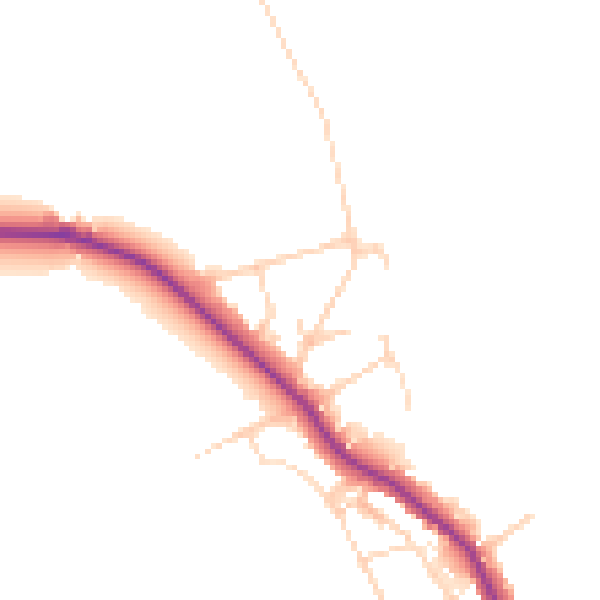
Daytime· 07:00 – 23:00
45.5dB

Everything within walking distance
Schools, transport stops and scenic spots near this property — 38 points of interest in total.
Beautiful places to visit nearby
Curated scenic spots within reach of this postcode, served by Beautifulplaces.ai. Photography and tagging come from their open dataset.
Common questions
The questions buyers, sellers and homeowners most often ask about 3 Monks Chase, Ingrave, Brentwood, CM13 3QU. Each answer is also embedded as structured data for search engines.