2 Dovedale Avenue, Wirral, CH62 8DD
About 2 Dovedale Avenue
2 Dovedale Avenue is a three-bedroom end-of-terrace house in Wirral (CH62 8DD). It has a recorded floor area of 82 m² (around 883 sq ft), construction records dating it to 1950-1966 and council tax band B. The latest certificate (August 2020) shows a C (score 69), just inside the C band. The recommended improvements would push it to B (score 85).
It hasn't traded since November 1998, a hold of 28 years that's notably long for the area. Only one transfer is on record with HM Land Registry, suggesting it has stayed in the same hands for a long time. Today's modelled estimate of £181,000 sits 376.3% above the 1998 sale of £38,000. On a £-per-square-foot basis, the last sale (£43/sq ft) was about 68.6% below the postcode norm.
Know exactly what you're buying at 2 Dovedale Avenue
Before you offer, see what the listing won't tell you, the true value, the red flags and the full history.
Launch offer · save £5
Valuation
against the asking price
Risks
planning & flood
Sold prices
similar homes nearby
Trends
the local market
What this property has
Inside
- Bedrooms3
- Bathrooms1
Energy performance
EPC Rating
Planning history
2 Dovedale Avenue has no planning applications on record.
The full report still covers planning activity across the surrounding area.
Sales history & valuation
Latest sale on 2 Dovedale Avenue was the lowest on Land Registry record across the postcode.
£181,000
Modelled from EPC, postcode comparables.
£38,000
Recorded with HM Land Registry.
Sales timeline
6 November 1998Most recent
£38,000
Median price across the last 5 sales in CH62 8DD: £133,000 (2023–2017).
Nearby sales in CH62 8DD
Everything we know about 2 Dovedale Avenue, in one report
What it's really worth, what could be wrong, and the planning, sales and area data in full.
- Am I paying too much?
- Is something wrong with it?
- Is the agent's story true?
- Will it hold its value?

Versus other Dovedale Avenue homes
On price per m², 2 Dovedale Avenue runs well behind the street norm.
Price per m²
£463
Street avg £1,604
Floor Area
82 m²
Street avg 86 m²
Habitable Rooms
4 rooms
Street avg 5 rooms
CO₂ Emissions
3.1 t/year
Street avg 3.1 t/year
Similar properties nearby
1 Millersdale Close
CH62 8HQ
1 Edale Close
CH62 8HB
1 Eskdale Avenue, Eastham
CH62 8DH
1 Mallowdale Close
CH62 8EY
1 Berwick Avenue
CH62 8EP
1 Athol Drive
CH62 8DR
1 Glenburn Avenue
CH62 8DJ
1 Adaston Avenue
CH62 8BT
The neighbourhood at a glance
Crime
3/mo
Steady year-on-year across the wider district.
Nearest stop
0.2 km
Raeburn Avenue — bus stop.
Closest school
0.3 km
Heygarth Primary School. 9 schools nearby.
Go deeper on the local area
The full report breaks down crime, transport links, schools and air quality in depth.
Road noise across the postcode
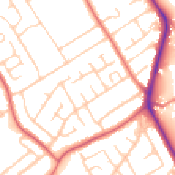
Daytime· 07:00 – 23:00
52.7dB
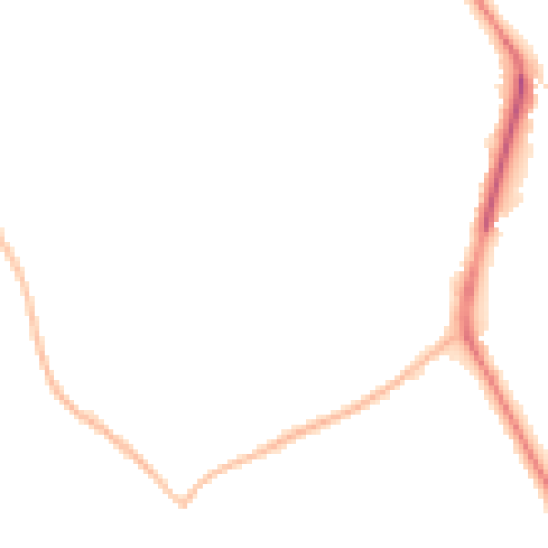
Night-time· 23:00 – 07:00
42.6dB