1 Glenburn Avenue, Wirral, CH62 8DJ
About 1 Glenburn Avenue
1 Glenburn Avenue is a three-bedroom semi-detached house in Wirral (CH62 8DJ). It has a recorded floor area of 89 m² (around 958 sq ft), construction records dating it to 1930-1949 and council tax band B. It has already been extended once and our model flags further extension potential, a sign of buyer flexibility. The home occupies a corner plot. The latest certificate (November 2018) shows a D (score 57), a step below the typical UK home. The recommended improvements would lift it to B (score 82), a 2-band jump.
One planning record on file: an extension approved in 2005. Past consents include an extension, meaningful when judging how the property has evolved. Today's modelled estimate of £250,000 is 35.1% above the 2019 sale price. On a £-per-square-foot basis, the last sale (£193/sq ft) was about 24.4% above the typical sold price in the postcode. Last sale on file: £185,000 in March 2019.
Know exactly what you're buying at 1 Glenburn Avenue
Before you offer, see what the listing won't tell you, the true value, the red flags and the full history.
Launch offer · save £5
Valuation
against the asking price
Risks
planning & flood
Sold prices
similar homes nearby
Trends
the local market
What this property has
Inside
- Bedrooms3
Outside
- Private gardenrear
- Corner plotYes
Building
- Previously extendedYes
- Extension potentialPossible
Energy performance
Recommended upgrades on file would lift this property by multiple EPC bands.
EPC Rating
Planning history
1 Glenburn Avenue has an approved single-storey rear extension on the planning record.
- Sept 2005ExtensionFullIn report
Extension: Single storey · Rear of property
Erection of a single story rear extension.
- Documents
- 6 docs on file
- Reference
- APP/05/06579
What's in 1 Glenburn Avenue, Wirral, CH62 8DJ's planning history?
Refusals, disputes and full decisions on this property and nearby, in the report.
Sales history & valuation
1 Glenburn Avenue valuation sits well clear of the typical sold price in this postcode.
£250,000
Modelled from EPC, postcode comparables.
£185,000
Recorded with HM Land Registry.
Sales timeline
1 March 2019Most recent
£185,000
Median price across the last 5 sales in CH62 8DJ: £156,950 (2024–2020).
Nearby sales in CH62 8DJ
Everything we know about 1 Glenburn Avenue, in one report
What it's really worth, what could be wrong, and the planning, sales and area data in full.
- Am I paying too much?
- Is something wrong with it?
- Is the agent's story true?
- Will it hold its value?

Versus other Glenburn Avenue homes
Floor Area for 1 Glenburn Avenue runs comfortably ahead of the street norm.
Price per m²
£2,079
Street avg £1,754
Floor Area
89 m²
Street avg 82 m²
Habitable Rooms
5 rooms
Street avg 5 rooms
CO₂ Emissions
4.8 t/year
Street avg 4.0 t/year
Similar properties nearby
1 Adaston Avenue
CH62 8BT
1 Athol Drive
CH62 8DR
1 Berwick Avenue
CH62 8EP
1 Heygarth Road
CH62 8AQ
1 Eskdale Avenue, Eastham
CH62 8DH
1 Millersdale Close
CH62 8HQ
1 Edale Close
CH62 8HB
1 Mallowdale Close
CH62 8EY
The neighbourhood at a glance
Crime
3/mo
Steady year-on-year across the wider district.
Nearest stop
0.1 km
Glenburn Avenue — bus stop.
Closest school
0.4 km
Heygarth Primary School. 9 schools nearby.
Go deeper on the local area
The full report breaks down crime, transport links, schools and air quality in depth.
Road noise across the postcode
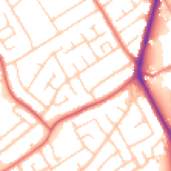
Daytime· 07:00 – 23:00
53.3dB

Night-time· 23:00 – 07:00
43.2dB