39 Ashfield Road, Bromborough, Wirral, CH62 7EE
About 39 Ashfield Road
39 Ashfield Road is a three-bedroom semi-detached house in Bromborough, Wirral, Wirral (CH62 7EE). It has a recorded floor area of 70 m² (around 750 sq ft), construction records dating it to 1930-1949 and council tax band A. The latest certificate (January 2009) shows an E (score 46), well below the UK norm with real room to improve. The latest certificate is from January 2009, so improvements made since then won't be reflected.
Untraded for 25 years, with the last transfer in July 2001. Across 1999–2001, sale prices on this property compounded at 22.1% per year. Today's modelled estimate of £153,000 sits 212.2% above the 2001 sale of £49,000. On a £-per-square-foot basis, the last sale (£65/sq ft) was about 54.2% below the postcode norm. It lags the bulk of the postcode on energy efficiency (less efficient than 87% of similar EPCs).
Know exactly what you're buying at 39 Ashfield Road
Before you offer, see what the listing won't tell you, the true value, the red flags and the full history.
Launch offer · save £5
Valuation
against the asking price
Risks
planning & flood
Sold prices
similar homes nearby
Trends
the local market
What this property has
Inside
- Bedrooms3
Energy performance
39 Ashfield Road's EPC is over a decade old — improvements since won't be reflected.
EPC Expired
This certificate is over 10 years old and is no longer valid.Expired 21 Jan 2019
EPC Rating
Planning history
39 Ashfield Road has no planning applications on record.
The full report still covers planning activity across the surrounding area.
Sales history & valuation
39 Ashfield Road's modelled value sits at over four times its earliest registered sale price (1999).
£153,000
Modelled from EPC, postcode comparables and a sale-price growth of 22.1% per year over 2 years.
£49,000
Growth on file: 22.1% per year over 2 years.
Sales timeline
4 July 2001Most recent
£49,000
+19.5%over 7 months24 November 2000
£41,000
+13.9%over 11 months17 December 1999
£36,000
Median price across the last 5 sales in CH62 7EE: £125,000 (2024–2019).
Nearby sales in CH62 7EE
61 Ashfield Road, Bromborough, Wirral, CH62 7EE
Sold Dec 2024
£182,00063 Ashfield Road, Bromborough, Wirral, CH62 7EE
Sold Jul 2024
£245,00029 Ashfield Road, Bromborough, Wirral, CH62 7EE
Sold Nov 2020
£106,00011 Ashfield Road, Bromborough, Wirral, CH62 7EE
Sold Sept 2014
£118,00027 Ashfield Road, Bromborough, Wirral, CH62 7EE
Sold Jan 2007
£82,000
Everything we know about 39 Ashfield Road, in one report
What it's really worth, what could be wrong, and the planning, sales and area data in full.
- Am I paying too much?
- Is something wrong with it?
- Is the agent's story true?
- Will it hold its value?

Versus other Ashfield Road homes
Price per m² for 39 Ashfield Road lags the street by a wide margin.
Price per m²
£703
Street avg £1,969
Floor Area
70 m²
Street avg 63 m²
Habitable Rooms
4 rooms
Street avg 4 rooms
CO₂ Emissions
4.8 t/year
Street avg 2.8 t/year
Similar properties nearby
1 Gratrix Road
CH62 7BW
1 Ludlow Grove
CH62 7JH
1 Brotherton Close
CH62 7AR
1 Beechwood Road
CH62 7BG
1 Grassmoor Close
CH62 7JY
1 Cooks Acre, Bromborough
CH62 7FF
1 Freestone Drive, Bromborough
CH62 7FH
1 Archers Croft, Mark Rake, Bromborough
CH62 7EP
The neighbourhood at a glance
Rail-style transport is unusually close for this postcode.
Crime
3/mo
Steady year-on-year across the wider district.
Nearest stop
0.2 km
The Avenue — bus stop.
Closest school
0.6 km
Mendell Primary School. 13 schools nearby.
Go deeper on the local area
The full report breaks down crime, transport links, schools and air quality in depth.
Road noise across the postcode
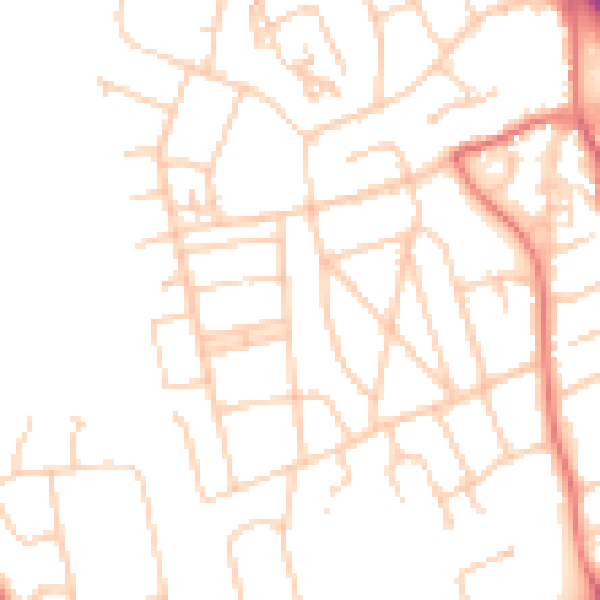
Daytime· 07:00 – 23:00
48.8dB

Night-time· 23:00 – 07:00
38.0dB