15 Dale Avenue, Bromborough, Wirral, CH62 7DY
About 15 Dale Avenue
15 Dale Avenue is a two-bedroom mid-terrace house in Bromborough, Wirral, Wirral (CH62 7DY). It has a recorded floor area of 70 m² (around 753 sq ft), construction records dating it to 1930-1949 and council tax band A. The latest certificate (August 2018) shows a C (score 69), just inside the C band. The recommended improvements would push it to B (score 89).
Untraded for 22 years, with the last transfer in April 2004. Across 2000–2004, sale prices on this property compounded at 20% per year. Today's modelled estimate of £150,000 sits 87.5% above the 2004 sale of £80,000. On a £-per-square-foot basis, the last sale (£106/sq ft) was about 31.4% below the postcode norm.
Know exactly what you're buying at 15 Dale Avenue
Before you offer, see what the listing won't tell you, the true value, the red flags and the full history.
Launch offer · save £5
Valuation
against the asking price
Risks
planning & flood
Sold prices
similar homes nearby
Trends
the local market
What this property has
Inside
- Bedrooms2
- Bathrooms1
Energy performance
EPC Rating
Planning history
15 Dale Avenue has no planning applications on record.
The full report still covers planning activity across the surrounding area.
Sales history & valuation
15 Dale Avenue's estimated value is more than triple its earliest registered sale price (2000).
£150,000
Modelled from EPC, postcode comparables and a sale-price growth of 20.0% per year over 4 years.
£80,000
Growth on file: 20.0% per year over 4 years.
Sales timeline
22 April 2004Most recent
£80,000
+95.1%over 3 years24 August 2000
£41,000
Median price across the last 5 sales in CH62 7DY: £122,000 (2025–2019).
Everything we know about 15 Dale Avenue, in one report
What it's really worth, what could be wrong, and the planning, sales and area data in full.
- Am I paying too much?
- Is something wrong with it?
- Is the agent's story true?
- Will it hold its value?

Versus other Dale Avenue homes
15 Dale Avenue is notably below the street on price per m².
Price per m²
£1,143
Street avg £2,132
Floor Area
70 m²
Street avg 71 m²
Habitable Rooms
3 rooms
Street avg 4 rooms
CO₂ Emissions
2.7 t/year
Street avg 2.9 t/year
Similar properties nearby
1 Grassmoor Close
CH62 7JY
1 Gratrix Road
CH62 7BW
1 Ludlow Grove
CH62 7JH
1 Archers Croft, Mark Rake, Bromborough
CH62 7EP
1 Brotherton Close
CH62 7AR
1 Beechwood Road
CH62 7BG
1 Ashfield Road, Bromborough
CH62 7EE
1 Mainwaring Road
CH62 7DG
The neighbourhood at a glance
Rail-style transport is unusually close for this postcode.
Crime
3/mo
Steady year-on-year across the wider district.
Nearest stop
0.2 km
Oteley Avenue — bus stop.
Closest school
0.5 km
Mendell Primary School. 13 schools nearby.
Go deeper on the local area
The full report breaks down crime, transport links, schools and air quality in depth.
Road noise across the postcode
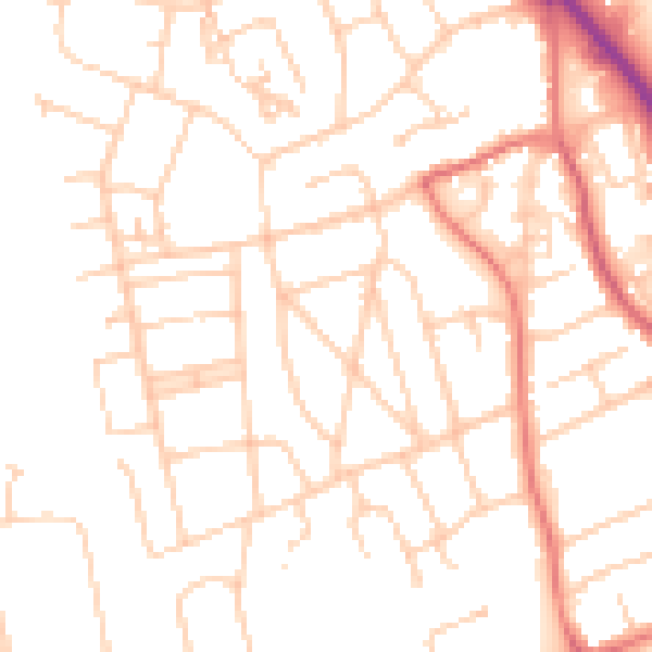
Daytime· 07:00 – 23:00
50.0dB

Night-time· 23:00 – 07:00
38.9dB