33 Bolton Road East, Wirral, CH62 4RU
About 33 Bolton Road East
33 Bolton Road East is a property in Wirral (CH62 4RU). It has council tax band B.
It hasn't traded since July 2006, a hold of 20 years that's notably long for the area. One planning record on file: an extension approved in 2002. Past consents include an extension, meaningful when judging how the property has evolved. Across 2002–2006, sale prices on this property compounded at 26.3% per year.
Know exactly what you're buying at 33 Bolton Road East
Before you offer, see what the listing won't tell you, the true value, the red flags and the full history.
Launch offer · save £5
Valuation
against the asking price
Risks
planning & flood
Sold prices
similar homes nearby
Trends
the local market
Energy performance
No EPC on record
This property doesn't have an Energy Performance Certificate yet. An EPC is required to sell or let — and unlocks our automated valuation.
Planning history
33 Bolton Road East has an approved single-storey side and rear extension on the planning record.
- Sept 2002ExtensionFullIn report
Extension: Single storey · Side and rear of property
Erection of a single storey side and rear extension.
- Documents
- 4 docs on file
- Reference
- APP/02/06786
What's in 33 Bolton Road East, Wirral, CH62 4RU's planning history?
Refusals, disputes and full decisions on this property and nearby, in the report.
Sales history & valuation
33 Bolton Road East has more than doubled in price since the earliest registered sale in 2002.
£147,000
Growth on file: 26.3% per year over 4 years.
Sales timeline
20 July 2006Most recent
£147,000
+174.8%over 4 years22 March 2002
£53,500
Median price across the last 5 sales in CH62 4RU: £199,995 (2025–2022).
Nearby sales in CH62 4RU
Everything we know about 33 Bolton Road East, in one report
What it's really worth, what could be wrong, and the planning, sales and area data in full.
- Am I paying too much?
- Is something wrong with it?
- Is the agent's story true?
- Will it hold its value?

Similar properties nearby
The neighbourhood at a glance
Rail-style transport is unusually close for this postcode.
Crime
3/mo
Steady year-on-year across the wider district.
Nearest stop
0.3 km
Portbury Close — bus stop.
Closest school
0.5 km
Church Drive Primary School. 21 schools nearby.
Go deeper on the local area
The full report breaks down crime, transport links, schools and air quality in depth.
Road noise across the postcode
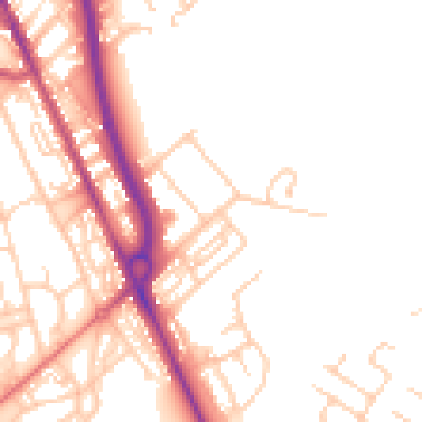
Daytime· 07:00 – 23:00
50.7dB
Night-time· 23:00 – 07:00
41.5dB