79a, New Chester Road, Wirral, CH62 1AB
About 79a
79a is a mid-terrace house in Wirral (CH62 1AB). It has a recorded floor area of 57 m² (around 614 sq ft), construction records dating it to 1900-1929 and council tax band A. At 57 m² this is the 6th smallest of 11 units on EPC record in the building, where floor areas span 18–109 m². The building's EPC ratings span E to C across 11 units on file. The latest certificate (June 2020) shows a D (score 58), a step below the typical UK home. The recommended improvements would push it to C (score 73).
Held since August 2008 — that's 18 years off the open market, well above the local norm. That sale landed at the peak of the pre-credit-crunch market, which is a useful reference point when interpreting the price. Today's modelled estimate of £115,000 is 43.8% above the 2008 sale price. On a £-per-square-foot basis, the last sale (£130/sq ft) was about 109.3% above the typical sold price in the postcode.
Know exactly what you're buying at 79a
Before you offer, see what the listing won't tell you, the true value, the red flags and the full history.
Launch offer · save £5
Valuation
against the asking price
Risks
planning & flood
Sold prices
similar homes nearby
Trends
the local market
Energy performance
EPC Rating
Planning history
79a has no planning applications on record.
The full report still covers planning activity across the surrounding area.
Sales history & valuation
The latest sale landed at the peak of the pre-credit-crunch market — a high-water reference point.
£115,000
Modelled from EPC, postcode comparables.
£80,000
Recorded with HM Land Registry.
Sales timeline
31 August 2008Most recent
£80,000
Median price across the last 5 sales in CH62 1AB: £45,000 (2023–2015).
Nearby sales in CH62 1AB
Everything we know about 79a, in one report
What it's really worth, what could be wrong, and the planning, sales and area data in full.
- Am I paying too much?
- Is something wrong with it?
- Is the agent's story true?
- Will it hold its value?

Versus other New Chester Road homes
EPC Rating for 79a lags the street by a wide margin.
Price per m²
£1,404
Street avg £1,273
Floor Area
57 m²
Street avg 64 m²
Habitable Rooms
3 rooms
Street avg 3 rooms
CO₂ Emissions
3.4 t/year
Street avg 3.3 t/year
Similar properties nearby
The neighbourhood at a glance
Rail-style transport is unusually close for this postcode.
Crime
3/mo
Steady year-on-year across the wider district.
Nearest stop
0.0 km
Legh Road — bus stop.
Closest school
0.3 km
Grove Street Primary School. 23 schools nearby.
Go deeper on the local area
The full report breaks down crime, transport links, schools and air quality in depth.
Road noise across the postcode
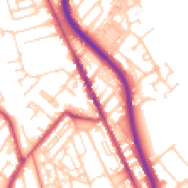
Daytime· 07:00 – 23:00
54.0dB

Night-time· 23:00 – 07:00
44.2dB