3 Cornelius Drive, Wirral, CH61 9PY
About 3 Cornelius Drive
3 Cornelius Drive is a three-bedroom semi-detached house in Wirral (CH61 9PY). It has a recorded floor area of 76 m² (around 818 sq ft), construction records dating it to 1930-1949 and council tax band C. The latest certificate (November 2025) shows a D (score 64), on the cusp of jumping into the C band. The recommended improvements would push it to C (score 78). Other recorded features include a loft.
Today's modelled estimate of £320,000 is 43.2% above the 2015 sale price. On a £-per-square-foot basis, the last sale (£273/sq ft) was about 59.2% above the typical sold price in the postcode. Last changed hands 11 years ago, in September 2015. At 76 m² it's 27.3% smaller than the typical home in the postcode (105 m² median across 8 EPCs).
What this property has
Inside
- Bedrooms3
- Bathrooms1
- LoftYes
Outside
- Private gardenRear
- Summer houseYes
Building
- Heating systemGas
- RefurbishedYes
Everything you need to know about 3 Cornelius Drive
The true value, the hidden risks and the full sale history, in one report.
30-day money-back guarantee

The data behind every report


Energy performance
EPC Rating
Planning history
3 Cornelius Drive has no planning applications on record.
The full report still covers planning activity across the surrounding area.
Sales history & valuation
3 Cornelius Drive valuation sits well clear of the typical sold price in this postcode.
£320,000
Modelled from EPC, postcode comparables.
£223,500
Recorded with HM Land Registry.
Sales timeline
23 September 2015Most recent
£223,500
Median price across the last 5 sales in CH61 9PY: £212,000 (2020–2015).
Nearby sales in CH61 9PY
Versus other Cornelius Drive homes
Price per m² for 3 Cornelius Drive runs comfortably ahead of the street norm.
Price per m²
£2,941
Street avg £1,833
Floor Area
76 m²
Street avg 104 m²
Habitable Rooms
5 rooms
Street avg 5 rooms
CO₂ Emissions
3.4 t/year
Street avg 6.0 t/year
Everything you need to know about 3 Cornelius Drive
The true value, the hidden risks and the full sale history, in one report.
30-day money-back guarantee
The data behind every report
Similar properties nearby
1 Fender Way
CH61 9NP
1 Kings Drive, Thingwall
CH61 9PX
1 Belmont Drive
CH61 9NA
1 Beech Avenue, Pensby
CH61 9NU
1 Cestrian Drive
CH61 9PL
10 Bentley Road
CH61 9QB
1 Laurelhurst Avenue
CH61 9NY
10 Beech Avenue, Pensby
CH61 9NU
The neighbourhood at a glance
Daytime road noise here sits well below conversation level — a quiet pocket of the postcode.
Crime
2/mo
Steady year-on-year across the wider district.
Nearest stop
0.2 km
Cornelius Drive — bus stop.
Closest school
0.7 km
Thingwall Primary School. 13 schools nearby.
Go deeper on the local area
The full report breaks down crime, transport links, schools and air quality in depth.
Road noise across the postcode
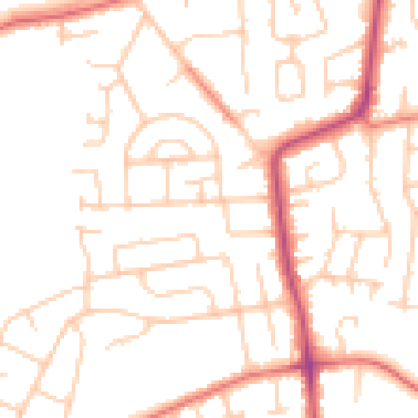
Daytime· 07:00 – 23:00
49.8dB
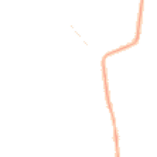
Night-time· 23:00 – 07:00
39.3dB