9 Laurelhurst Avenue, Wirral, CH61 9NY
About 9 Laurelhurst Avenue
9 Laurelhurst Avenue is a four-bedroom semi-detached house in Wirral (CH61 9NY). It has a recorded floor area of 115 m² (around 1240 sq ft), construction records dating it to 1930-1949 and council tax band C. The latest certificate (October 2008) shows an E (score 50), well below the UK norm with real room to improve. The recommended improvements would push it to D (score 57). The latest certificate is from October 2008, so improvements made since then won't be reflected.
It hasn't traded since August 1997, a hold of 29 years that's notably long for the area. Only one transfer is on record with HM Land Registry, suggesting it has stayed in the same hands for a long time. At 115 m² the property is well over the postcode median (76 m² across 18 EPCs), placing it in the larger end of the local stock. Today's modelled estimate of £257,000 sits 289.4% above the 1997 sale of £66,000. On a £-per-square-foot basis, the last sale (£53/sq ft) was about 70.5% below the postcode norm.
What this property has
Inside
- Bedrooms4
- Dining roomYes
Outside
- Private gardenYes
Building
- Heating systemGas
Everything you need to know about 9 Laurelhurst Avenue
The true value, the hidden risks and the full sale history, in one report.
30-day money-back guarantee

The data behind every report


Energy performance
9 Laurelhurst Avenue's carbon output runs well above what efficient homes in the postcode produce.
EPC Expired
This certificate is over 10 years old and is no longer valid.Expired 21 Oct 2018
EPC Rating
Planning history
9 Laurelhurst Avenue has no planning applications on record.
The full report still covers planning activity across the surrounding area.
Sales history & valuation
9 Laurelhurst Avenue's estimated value is more than triple its earliest registered sale price (1997).
£257,000
Modelled from EPC, postcode comparables.
£66,000
Recorded with HM Land Registry.
Sales timeline
31 August 1997Most recent
£66,000
Median price across the last 5 sales in CH61 9NY: £255,000 (2024–2021).
Nearby sales in CH61 9NY
Versus other Laurelhurst Avenue homes
9 Laurelhurst Avenue is notably below the street on price per m².
Price per m²
£573
Street avg £2,375
Floor Area
115 m²
Street avg 83 m²
Habitable Rooms
6 rooms
Street avg 5 rooms
CO₂ Emissions
6.5 t/year
Street avg 4.8 t/year
Everything you need to know about 9 Laurelhurst Avenue
The true value, the hidden risks and the full sale history, in one report.
30-day money-back guarantee
The data behind every report
Similar properties nearby
1 Belmont Drive
CH61 9NA
1 Kings Drive, Thingwall
CH61 9PX
10 Bentley Road
CH61 9QB
1 Fender Way
CH61 9NP
1 Beech Avenue, Pensby
CH61 9NU
1 Cestrian Drive
CH61 9PL
1 Shearman Close
CH61 9PA
1 Fishers Lane
CH61 9NT
The neighbourhood at a glance
Daytime road noise here sits well below conversation level — a quiet pocket of the postcode.
Crime
2/mo
Steady year-on-year across the wider district.
Nearest stop
0.2 km
Beech Avenue — bus stop.
Closest school
0.4 km
Pensby Primary School. 10 schools nearby.
Go deeper on the local area
The full report breaks down crime, transport links, schools and air quality in depth.
Road noise across the postcode
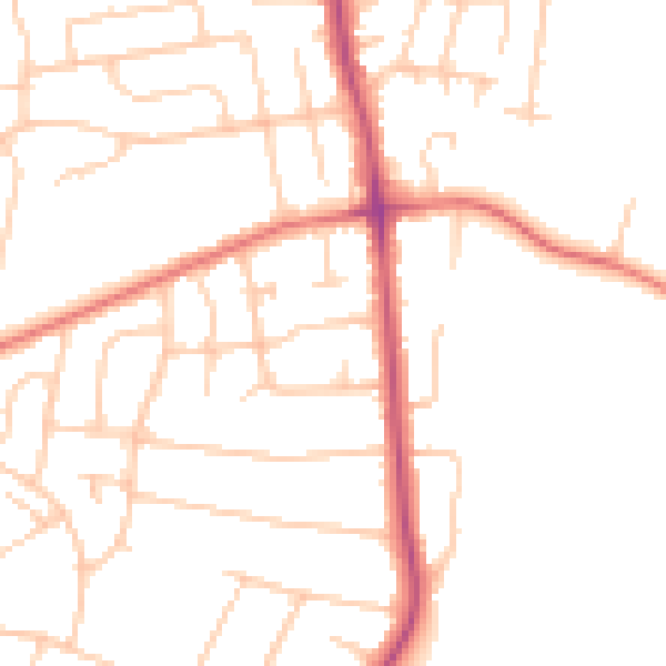
Daytime· 07:00 – 23:00
48.6dB
Night-time· 23:00 – 07:00
38.6dB