23 Fishers Lane, Wirral, CH61 9NT
About 23 Fishers Lane
23 Fishers Lane is a two-bedroom semi-detached house in Wirral (CH61 9NT). It has a recorded floor area of 74 m² (around 797 sq ft), construction records dating it to 1950-1966 and council tax band B. The latest certificate (March 2022) shows a D (score 62), on the cusp of jumping into the C band. The recommended improvements would push it to C (score 80).
Untraded for 19 years, with the last transfer in August 2007. That sale landed at the peak of the pre-credit-crunch market, which is a useful reference point when interpreting the price. At 74 m² it's 21.3% smaller than the typical home in the postcode (94 m² median across 12 EPCs). Today's modelled estimate of £214,000 is 49.7% above the 2007 sale price.
What this property has
Inside
- Bedrooms2
- Dining roomYes
Outside
- Private gardenYes
- GarageYes
Everything you need to know about 23 Fishers Lane
The true value, the hidden risks and the full sale history, in one report.
30-day money-back guarantee

The data behind every report


Energy performance
EPC Rating
Planning history
23 Fishers Lane has no planning applications on record.
The full report still covers planning activity across the surrounding area.
Sales history & valuation
The latest sale landed at the peak of the pre-credit-crunch market — a high-water reference point.
£214,000
Modelled from EPC, postcode comparables.
£143,000
Recorded with HM Land Registry.
Sales timeline
13 August 2007Most recent
£143,000
Median price across the last 5 sales in CH61 9NT: £242,000 (2025–2021).
Versus other Fishers Lane homes
On years held, 23 Fishers Lane stands well clear of the street.
Price per m²
£1,932
Street avg £2,236
Floor Area
74 m²
Street avg 96 m²
Habitable Rooms
4 rooms
Street avg 4 rooms
CO₂ Emissions
3.7 t/year
Street avg 4.3 t/year
Everything you need to know about 23 Fishers Lane
The true value, the hidden risks and the full sale history, in one report.
30-day money-back guarantee
The data behind every report
Similar properties nearby
1 Fishers Lane
CH61 9NT
1 Shearman Close
CH61 9PA
1 Ryland Park
CH61 9QJ
10 Beech Avenue, Pensby
CH61 9NU
1 Laurelhurst Avenue
CH61 9NY
10 Bentley Road
CH61 9QB
1 Belmont Drive
CH61 9NA
1 Kings Drive, Thingwall
CH61 9PX
The neighbourhood at a glance
Daytime road noise here sits well below conversation level — a quiet pocket of the postcode.
Crime
2/mo
Steady year-on-year across the wider district.
Nearest stop
0.1 km
Beech Avenue — bus stop.
Closest school
0.6 km
Pensby Primary School. 10 schools nearby.
Go deeper on the local area
The full report breaks down crime, transport links, schools and air quality in depth.
Road noise across the postcode
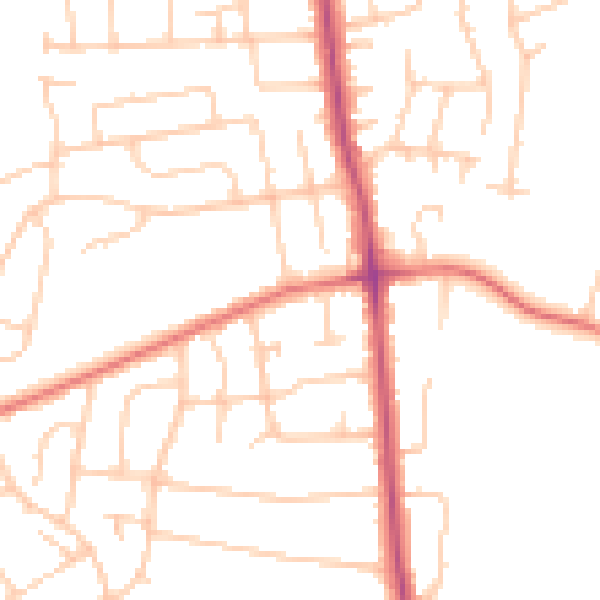
Daytime· 07:00 – 23:00
49.1dB

Night-time· 23:00 – 07:00
38.8dB