10 Northridge Road, Wirral, CH61 8RH
About 10 Northridge Road
10 Northridge Road is a three-bedroom semi-detached house in Wirral (CH61 8RH). It has a recorded floor area of 103 m² (around 1109 sq ft), construction records dating it to 1930-1949 and council tax band B. The latest certificate (August 2016) shows an F (score 22), near the bottom of the EPC scale. The rating has held steady at F across 2 certificates since May 2015. The recommended improvements would lift it to C (score 78), a 3-band jump.
At 103 m² the property is well over the postcode median (78 m² across 15 EPCs), placing it in the larger end of the local stock. It lags the bulk of the postcode on energy efficiency (less efficient than 87% of similar EPCs). Today's modelled estimate of £238,000 sits 77.6% above the 2016 sale of £134,000. On a £-per-square-foot basis, the last sale (£121/sq ft) was about 30.4% below the postcode norm. 10 years since the last transfer (February 2016).
What this property has
Inside
- Bedrooms3
- Bathrooms1
Building
- Heating systemGas
Everything you need to know about 10 Northridge Road
The true value, the hidden risks and the full sale history, in one report.
30-day money-back guarantee

The data behind every report


Energy performance
10 Northridge Road's carbon output runs well above what efficient homes in the postcode produce.
EPC Rating
Planning history
10 Northridge Road has no planning applications on record.
The full report still covers planning activity across the surrounding area.
Sales history & valuation
10 Northridge Road valuation sits well clear of the typical sold price in this postcode.
£238,000
Modelled from EPC, postcode comparables.
£134,000
Recorded with HM Land Registry.
Sales timeline
26 February 2016Most recent
£134,000
Median price across the last 5 sales in CH61 8RH: £175,000 (2022–2018).
Nearby sales in CH61 8RH
Versus other Northridge Road homes
Habitable Rooms for 10 Northridge Road runs comfortably ahead of the street norm.
Price per m²
£1,301
Street avg £1,975
Floor Area
103 m²
Street avg 79 m²
Habitable Rooms
6 rooms
Street avg 4 rooms
CO₂ Emissions
11.0 t/year
Street avg 5.2 t/year
Everything you need to know about 10 Northridge Road
The true value, the hidden risks and the full sale history, in one report.
30-day money-back guarantee
The data behind every report
Similar properties nearby
The neighbourhood at a glance
Daytime road noise here sits well below conversation level — a quiet pocket of the postcode.
Crime
2/mo
Steady year-on-year across the wider district.
Nearest stop
0.2 km
Wimbourne Avenue — bus stop.
Closest school
0.8 km
Thingwall Primary School. 12 schools nearby.
Go deeper on the local area
The full report breaks down crime, transport links, schools and air quality in depth.
Road noise across the postcode
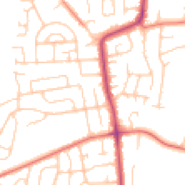
Daytime· 07:00 – 23:00
49.9dB

Night-time· 23:00 – 07:00
39.3dB