5 Ridgewood Drive, Wirral, CH61 8RA
About 5 Ridgewood Drive
5 Ridgewood Drive is a three-bedroom semi-detached house in Wirral (CH61 8RA). It has a recorded floor area of 81 m² (around 872 sq ft), construction records dating it to 1930-1949 and council tax band C. The latest certificate (April 2016) shows a D (score 57), a step below the typical UK home. The recommended improvements would lift it to B (score 83), a 2-band jump. The latest certificate is from April 2016, so improvements made since then won't be reflected. Other recorded features include attached land beyond the plot. The home occupies a corner plot.
Across 2016–2024, sale prices on this property compounded at 6.6% per year. On a £-per-square-foot basis, the last sale (£292/sq ft) was about 94.5% above the typical sold price in the postcode. At 81 m² it's 25.3% smaller than the typical home in the postcode (109 m² median across 4 EPCs). Last sale on file: £255,000 in May 2024.
What this property has
Inside
- Bedrooms3
- Bathrooms1
Outside
- DrivewayYes
- LandYes
- Corner plotYes
Building
- RefurbishedYes
Everything you need to know about 5 Ridgewood Drive
The true value, the hidden risks and the full sale history, in one report.
30-day money-back guarantee

The data behind every report


Energy performance
Recommended upgrades on file would lift this property by multiple EPC bands.
EPC Expired
This certificate is over 10 years old and is no longer valid.Expired 20 Apr 2026
EPC Rating
Planning history
5 Ridgewood Drive has no planning applications on record.
The full report still covers planning activity across the surrounding area.
Sales history & valuation
5 Ridgewood Drive saw 3 transfers in just over a decade — high turnover for the postcode.
£278,000
Modelled from EPC, postcode comparables and a sale-price growth of 6.6% per year over 8 years.
£255,000
Growth on file: 6.6% per year over 8 years.
Sales timeline
23 May 2024Most recent
£255,000
+15.9%over 3 years27 August 2020
£220,000
+41.9%over 4 years31 July 2016
£155,000
Median price across the last 5 sales in CH61 8RA: £237,000 (2023–2015).
Nearby sales in CH61 8RA
Versus other Ridgewood Drive homes
5 Ridgewood Drive outperforms the street on price per m² by a wide margin.
Price per m²
£3,148
Street avg £2,059
Floor Area
81 m²
Street avg 108 m²
Habitable Rooms
5 rooms
Street avg 6 rooms
CO₂ Emissions
4.6 t/year
Street avg 6.2 t/year
Everything you need to know about 5 Ridgewood Drive
The true value, the hidden risks and the full sale history, in one report.
30-day money-back guarantee
The data behind every report
Similar properties nearby
The neighbourhood at a glance
Daytime road noise here sits well below conversation level — a quiet pocket of the postcode.
Crime
2/mo
Steady year-on-year across the wider district.
Nearest stop
0.1 km
Fishers Lane — bus stop.
Closest school
0.7 km
Pensby Primary School. 12 schools nearby.
Go deeper on the local area
The full report breaks down crime, transport links, schools and air quality in depth.
Road noise across the postcode
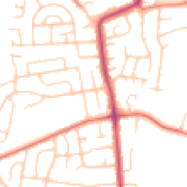
Daytime· 07:00 – 23:00
49.8dB

Night-time· 23:00 – 07:00
39.2dB