6 Hazeldene Avenue, Wirral, CH61 7XX
About 6 Hazeldene Avenue
6 Hazeldene Avenue is a three-bedroom semi-detached house in Wirral (CH61 7XX). It has a recorded floor area of 81 m² (around 872 sq ft), construction records dating it to 1950-1966 and council tax band B. Tenure is freehold. The latest certificate (December 2020) shows a D (score 67), on the cusp of jumping into the C band. Earlier certificates rated it C (September 2010); the latest reading is one band lower. Between certificates, wall efficiency dropped from Good to Average and window efficiency dropped from Good to Average. The recommended improvements would lift it to B (score 83), a 2-band jump.
Today's modelled estimate of £203,000 is 45% above the 2011 sale price. On a £-per-square-foot basis, the last sale (£161/sq ft) was about 17.6% above the typical sold price in the postcode. Last changed hands 15 years ago, in July 2011.
What this property has
Inside
- Bedrooms3
Outside
- Private gardenYes
Building
- TenureFreehold
- Central heatingYes
- RefurbishedYes
Everything you need to know about 6 Hazeldene Avenue
The true value, the hidden risks and the full sale history, in one report.
30-day money-back guarantee

The data behind every report


Energy performance
Recommended upgrades on file would lift this property by multiple EPC bands.
EPC Rating
Planning history
6 Hazeldene Avenue has no planning applications on record.
The full report still covers planning activity across the surrounding area.
Sales history & valuation
6 Hazeldene Avenue valuation sits well clear of the typical sold price in this postcode.
£203,000
Modelled from EPC, postcode comparables.
£140,000
Recorded with HM Land Registry.
Sales timeline
18 July 2011Most recent
£140,000
Median price across the last 5 sales in CH61 7XX: £220,000 (2024–2021).
Nearby sales in CH61 7XX
Versus other Hazeldene Avenue homes
6 Hazeldene Avenue outperforms the street on years held by a wide margin.
Price per m²
£1,728
Street avg £1,801
Floor Area
81 m²
Street avg 96 m²
Habitable Rooms
4 rooms
Street avg 5 rooms
CO₂ Emissions
3.3 t/year
Street avg 3.6 t/year
Everything you need to know about 6 Hazeldene Avenue
The true value, the hidden risks and the full sale history, in one report.
30-day money-back guarantee
The data behind every report
Similar properties nearby
1 Lilley Croft, Beaumaris Drive, Heswall
CH61 7YB
1 Turmar Avenue
CH61 7XB
1 Hazeldene Way
CH61 7XL
1 Penrhyn Avenue
CH61 7UP
1 Ainsdale Close, Thingwall
CH61 7UJ
10 Beverley Gardens
CH61 7XU
1 Colemere Drive
CH61 7XS
1 Berwyn Avenue, Thingwall
CH61 7UN
The neighbourhood at a glance
Crime
2/mo
Steady year-on-year across the wider district.
Nearest stop
0.1 km
Mill Road — bus stop.
Closest school
0.2 km
Thingwall Primary School. 18 schools nearby.
Go deeper on the local area
The full report breaks down crime, transport links, schools and air quality in depth.
Road noise across the postcode
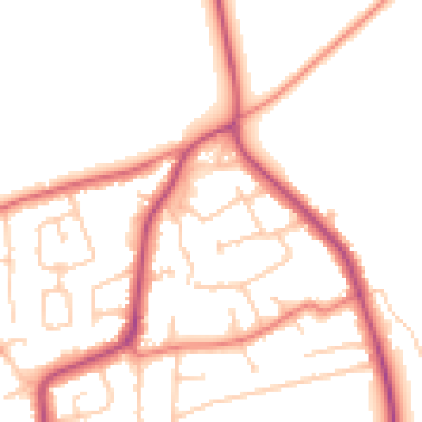
Daytime· 07:00 – 23:00
50.0dB

Night-time· 23:00 – 07:00
41.0dB