25 Hazeldene Avenue, Wirral, CH61 7XX
About 25 Hazeldene Avenue
25 Hazeldene Avenue is a four-bedroom semi-detached house in Wirral (CH61 7XX). It has a recorded floor area of 119 m² (around 1281 sq ft), construction records dating it to 1950-1966 and council tax band B. The latest certificate (June 2022) shows a C (score 70). The recommended improvements would push it to B (score 84).
At 119 m² the property is well over the postcode median (79 m² across 28 EPCs), placing it in the larger end of the local stock. On a £-per-square-foot basis, the last sale (£219/sq ft) was about 60.1% above the typical sold price in the postcode. Last sale on file: £280,000 in October 2022. That sale was during the post-pandemic price surge, when transactions cleared materially above pre-2020 trend.
What this property has
Inside
- Bedrooms4
- Bathrooms1
- Dining roomYes
- Utility roomYes
- CloakroomYes
Outside
- Private gardenFront and rear
Everything you need to know about 25 Hazeldene Avenue
The true value, the hidden risks and the full sale history, in one report.
30-day money-back guarantee

The data behind every report


Energy performance
EPC Rating
Planning history
25 Hazeldene Avenue has no planning applications on record.
The full report still covers planning activity across the surrounding area.
Sales history & valuation
Latest sale on 25 Hazeldene Avenue was the highest on Land Registry record across the postcode.
£306,000
Modelled from EPC, postcode comparables.
£280,000
Recorded with HM Land Registry.
Sales timeline
2 October 2022Most recent
£280,000
Median price across the last 5 sales in CH61 7XX: £200,000 (2024–2015).
Nearby sales in CH61 7XX
Versus other Hazeldene Avenue homes
25 Hazeldene Avenue outperforms the street on floor area by a wide margin.
Price per m²
£2,353
Street avg £1,739
Floor Area
119 m²
Street avg 94 m²
Habitable Rooms
6 rooms
Street avg 5 rooms
CO₂ Emissions
4.1 t/year
Street avg 3.6 t/year
Everything you need to know about 25 Hazeldene Avenue
The true value, the hidden risks and the full sale history, in one report.
30-day money-back guarantee
The data behind every report
Similar properties nearby
1 Beaumaris Drive, Heswall
CH61 7XP
1 The Foxes
CH61 7YH
1 Thingwall Grange, Thingwall
CH61 7YD
1 Colemere Drive
CH61 7XS
10 Beverley Gardens
CH61 7XU
1 Manor Park Close, Thingwall
CH61 7UA
1 Berwyn Avenue, Thingwall
CH61 7UN
1 Ainsdale Close, Thingwall
CH61 7UJ
The neighbourhood at a glance
Crime
2/mo
Steady year-on-year across the wider district.
Nearest stop
0.1 km
Mill Road — bus stop.
Closest school
0.2 km
Thingwall Primary School. 18 schools nearby.
Go deeper on the local area
The full report breaks down crime, transport links, schools and air quality in depth.
Road noise across the postcode
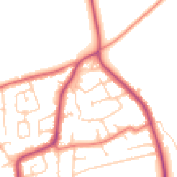
Daytime· 07:00 – 23:00
50.0dB

Night-time· 23:00 – 07:00
41.0dB