12 Sparks Lane, Heswall, Wirral, CH61 7XG
About 12 Sparks Lane
12 Sparks Lane is a four-bedroom semi-detached house in Heswall, Wirral, Wirral (CH61 7XG). It has a recorded floor area of 134 m² (around 1442 sq ft), construction records dating it to 1950-1966 and council tax band D. The latest certificate (April 2022) shows a D (score 67), on the cusp of jumping into the C band. The recommended improvements would push it to C (score 76). Records show the property has been extended at some point in its history.
At 134 m² the property is well over the postcode median (103 m² across 12 EPCs), placing it in the larger end of the local stock. Across 2008–2022, sale prices on this property compounded at 4.2% per year. On a £-per-square-foot basis, the last sale (£284/sq ft) was about 49.4% above the typical sold price in the postcode. Sold September 2022 for £410,000. That sale was during the post-pandemic price surge, when transactions cleared materially above pre-2020 trend.
What this property has
Inside
- Bedrooms4
- Bathrooms2
- StudyYes
Outside
- Private gardenRear
- GarageDetached
Building
- Previously extendedYes
- RefurbishedYes
Everything you need to know about 12 Sparks Lane
The true value, the hidden risks and the full sale history, in one report.
30-day money-back guarantee

The data behind every report


Energy performance
EPC Rating
Planning history
12 Sparks Lane has no planning applications on record.
The full report still covers planning activity across the surrounding area.
Sales history & valuation
The latest sale landed in the post-pandemic price surge — useful context when reading the figure.
£416,000
Modelled from EPC, postcode comparables and a sale-price growth of 4.2% per year over 14 years.
£410,000
Growth on file: 4.2% per year over 14 years.
Sales timeline
29 September 2022Most recent
£410,000
+78.3%over 14 years31 July 2008
£230,000
Median price across the last 5 sales in CH61 7XG: £275,000 (2025–2023).
Nearby sales in CH61 7XG
8 Sparks Lane, Heswall, Wirral, CH61 7XG
Sold Feb 2025
£276,50030 Sparks Lane, Heswall, Wirral, CH61 7XG
Sold Nov 2024
£260,00010 Sparks Lane, Heswall, Wirral, CH61 7XG
Sold Apr 2024
£275,0006 Sparks Lane, Heswall, Wirral, CH61 7XG
Sold Dec 2023
£130,00016 Sparks Lane, Heswall, Wirral, CH61 7XG
Sold Oct 2023
£305,000
Versus other Sparks Lane homes
On habitable rooms, 12 Sparks Lane stands well clear of the street.
Price per m²
£3,060
Street avg £2,469
Floor Area
134 m²
Street avg 111 m²
Habitable Rooms
7 rooms
Street avg 5 rooms
CO₂ Emissions
5.2 t/year
Street avg 5.5 t/year
Everything you need to know about 12 Sparks Lane
The true value, the hidden risks and the full sale history, in one report.
30-day money-back guarantee
The data behind every report
Similar properties nearby
1 Thingwall Grange, Thingwall
CH61 7YD
1 The Foxes
CH61 7YH
1 Beaumaris Drive, Heswall
CH61 7XP
1 Wimborne Avenue
CH61 7UL
1 Milton Green
CH61 7YQ
1 Berwyn Avenue, Thingwall
CH61 7UN
1 Manor Park Close, Thingwall
CH61 7UA
1 Colemere Drive
CH61 7XS
The neighbourhood at a glance
Daytime road noise here sits well below conversation level — a quiet pocket of the postcode.
Crime
2/mo
Steady year-on-year across the wider district.
Nearest stop
0.2 km
Sparks Lane — bus stop.
Closest school
0.5 km
Thingwall Primary School. 15 schools nearby.
Go deeper on the local area
The full report breaks down crime, transport links, schools and air quality in depth.
Road noise across the postcode
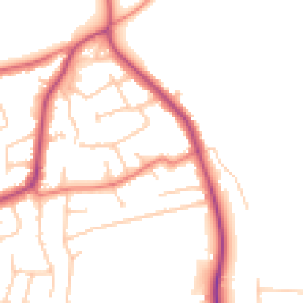
Daytime· 07:00 – 23:00
49.5dB

Night-time· 23:00 – 07:00
40.5dB