41 Torrington Drive, Wirral, CH61 7UZ
About 41 Torrington Drive
41 Torrington Drive is a three-bedroom mid-terrace house in Wirral (CH61 7UZ). It has a recorded floor area of 50 m² (around 538 sq ft), construction records dating it to 1976-1982 and council tax band A. At 50 m² this is the smallest unit on EPC record across the building (50–81 m²). The building's EPC ratings span F to C, with this unit at the top. On EPC score it ranks first in the building (78 versus a worst of 30). The latest certificate (April 2020) shows a C (score 78), near the top of the C band.
At 50 m² it's 25.4% smaller than the typical home in the postcode (67 m² median across 21 EPCs). Its energy rating outperforms most of the postcode (better than 76% of similar EPCs). Today's modelled estimate of £132,000 is 25.7% above the 2020 sale price. On a £-per-square-foot basis, the last sale (£195/sq ft) was about 51.4% above the typical sold price in the postcode. Most recent transfer: June 2020 at £105,000.
What this property has
Inside
- Bedrooms3
- Bathrooms1
Outside
- ParkingYes
Building
- RefurbishedYes
Everything you need to know about 41 Torrington Drive
The true value, the hidden risks and the full sale history, in one report.
30-day money-back guarantee

The data behind every report


Energy performance
41 Torrington Drive's carbon output is low for the local stock.
EPC Rating
Planning history
41 Torrington Drive has no planning applications on record.
The full report still covers planning activity across the surrounding area.
Sales history & valuation
41 Torrington Drive's sale-price growth has lagged the wider UK trajectory across its history on file.
£132,000
Modelled from EPC, postcode comparables.
£105,000
Recorded with HM Land Registry.
Sales timeline
10 June 2020Most recent
£105,000
6 July 2005
£105,000
Median price across the last 5 sales in CH61 7UZ: £87,000 (2022–2016).
Nearby sales in CH61 7UZ
Versus other Torrington Drive homes
On price per m², 41 Torrington Drive stands well clear of the street.
Price per m²
£2,100
Street avg £1,428
Floor Area
50 m²
Street avg 68 m²
Habitable Rooms
3 rooms
Street avg 3 rooms
CO₂ Emissions
1.3 t/year
Street avg 4.0 t/year
Everything you need to know about 41 Torrington Drive
The true value, the hidden risks and the full sale history, in one report.
30-day money-back guarantee
The data behind every report
Similar properties nearby
1 Lilley Croft, Beaumaris Drive, Heswall
CH61 7YB
1 Turmar Avenue
CH61 7XB
1 Hazeldene Way
CH61 7XL
1 Penrhyn Avenue
CH61 7UP
1 Torrington Gardens
CH61 7US
1 Ainsdale Close, Thingwall
CH61 7UJ
10 Beverley Gardens
CH61 7XU
1 Colemere Drive
CH61 7XS
The neighbourhood at a glance
Daytime road noise here sits well below conversation level — a quiet pocket of the postcode.
Crime
2/mo
Steady year-on-year across the wider district.
Nearest stop
0.1 km
Mill Road — bus stop.
Closest school
0.2 km
Thingwall Primary School. 19 schools nearby.
Go deeper on the local area
The full report breaks down crime, transport links, schools and air quality in depth.
Road noise across the postcode
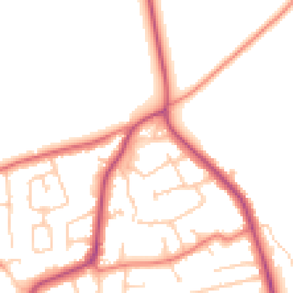
Daytime· 07:00 – 23:00
49.8dB

Night-time· 23:00 – 07:00
40.9dB