2 Penrhyn Avenue, Wirral, CH61 7UP
About 2 Penrhyn Avenue
2 Penrhyn Avenue is a semi-detached house in Wirral (CH61 7UP). It has a recorded floor area of 94 m² (around 1012 sq ft), construction records dating it to 1930-1949 and council tax band C. The latest certificate (December 2025) shows a D (score 68), on the cusp of jumping into the C band. The recommended improvements would push it to C (score 80). This certificate was lodged in the last six months, so the rating reflects current condition.
It hasn't traded since November 1997, a hold of 29 years that's notably long for the area. Only one transfer is on record with HM Land Registry, suggesting it has stayed in the same hands for a long time. Today's modelled estimate of £294,000 sits 292% above the 1997 sale of £75,000. On a £-per-square-foot basis, the last sale (£74/sq ft) was about 19.4% below the postcode norm.
Everything you need to know about 2 Penrhyn Avenue
The true value, the hidden risks and the full sale history, in one report.
30-day money-back guarantee

The data behind every report


Energy performance
The EPC has just been inspected, so the rating reflects current condition.
EPC Rating
Planning history
2 Penrhyn Avenue has no planning applications on record.
The full report still covers planning activity across the surrounding area.
Sales history & valuation
2 Penrhyn Avenue's estimated value is more than triple its earliest registered sale price (1997).
£294,000
Modelled from EPC, postcode comparables.
£75,000
Recorded with HM Land Registry.
Sales timeline
27 November 1997Most recent
£75,000
Median price across the last 5 sales in CH61 7UP: £139,000 (2020–2000).
Versus other Penrhyn Avenue homes
2 Penrhyn Avenue outperforms the street on years held by a wide margin.
Price per m²
£798
Street avg £1,250
Floor Area
94 m²
Street avg 102 m²
Habitable Rooms
5 rooms
Street avg 5 rooms
CO₂ Emissions
3.5 t/year
Street avg 5.8 t/year
Everything you need to know about 2 Penrhyn Avenue
The true value, the hidden risks and the full sale history, in one report.
30-day money-back guarantee
The data behind every report
Similar properties nearby
10 Beverley Gardens
CH61 7XU
1 Beverley Gardens
CH61 7XU
1 Colemere Drive
CH61 7XS
1 Beaumaris Drive, Heswall
CH61 7XP
1 Lyndhurst Close
CH61 7UH
1 Ainsdale Close, Thingwall
CH61 7UJ
1 Manor Park Close, Thingwall
CH61 7UA
1 Penrhyn Avenue
CH61 7UP
The neighbourhood at a glance
Crime
2/mo
Steady year-on-year across the wider district.
Nearest stop
0.1 km
Penrhyn Avenue — bus stop.
Closest school
0.3 km
Thingwall Primary School. 15 schools nearby.
Go deeper on the local area
The full report breaks down crime, transport links, schools and air quality in depth.
Road noise across the postcode
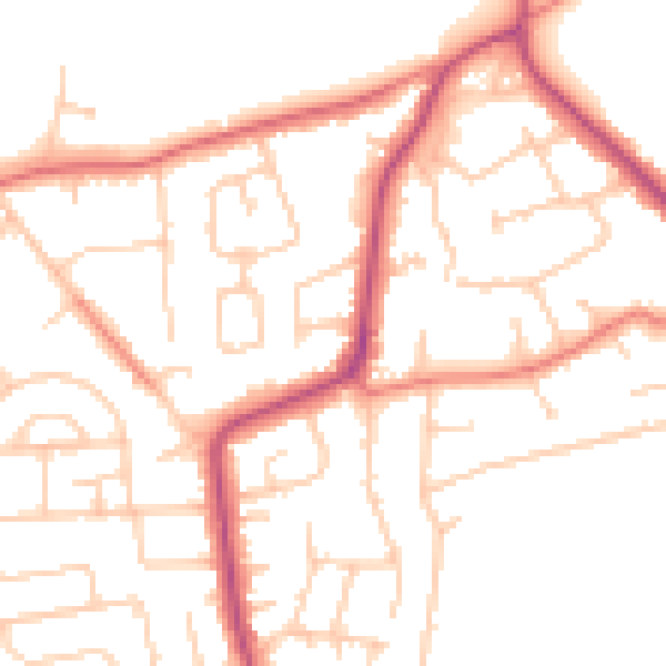
Daytime· 07:00 – 23:00
50.1dB

Night-time· 23:00 – 07:00
40.1dB