1a, Penrhyn Avenue, Wirral, CH61 7UP
About 1a
1a is a semi-detached house in Wirral (CH61 7UP). It has a recorded floor area of 98 m² (around 1055 sq ft) and construction records dating it to 1950-1966. The latest certificate (January 2015) shows an E (score 52), well below the UK norm with real room to improve. The recommended improvements would lift it to B (score 85), a 3-band jump. The latest certificate is from January 2015, so improvements made since then won't be reflected.
Untraded for 26 years, with the last transfer in March 2000. Only one transfer is on record with HM Land Registry, suggesting it has stayed in the same hands for a long time. Today's modelled estimate of £265,000 sits 278.6% above the 2000 sale of £70,000. On a £-per-square-foot basis, the last sale (£66/sq ft) was about 27.8% below the postcode norm. 2 planning records sit against the property, 2 approved, 0 refused.
Everything you need to know about 1a
The true value, the hidden risks and the full sale history, in one report.
30-day money-back guarantee

The data behind every report


Energy performance
1a's carbon output runs well above what efficient homes in the postcode produce.
EPC Expired
This certificate is over 10 years old and is no longer valid.Expired 14 Jan 2025
EPC Rating
Planning history
- Feb 2014FullIn report
Variation of condition 5 from APP/99/06598 to allow two practitioners to operate from the premises for no more than three days per week.
- Agent
- Wirral Planning & Advice Appeals
- Reference
- APP/14/00005
- Feb 2010FullIn report
Variation of condition no. 4 of planning permission APP/1999/6595 to extend permitted opening times to 08.00 - 20.00 Monday to Friday and 09.00 - 17.00 on Saturdays.
- Documents
- 5 docs on file
- Reference
- APP/09/06533
What's in 1a, Penrhyn Avenue, Wirral, CH61 7UP's planning history?
Refusals, disputes and full decisions on this property and nearby, in the report.
Sales history & valuation
1a's estimated value is more than triple its earliest registered sale price (2000).
£265,000
Modelled from EPC, postcode comparables.
£70,000
Recorded with HM Land Registry.
Sales timeline
30 March 2000Most recent
£70,000
Median price across the last 5 sales in CH61 7UP: £139,000 (2020–1997).
Versus other Penrhyn Avenue homes
Price per m² for 1a lags the street by a wide margin.
Price per m²
£714
Street avg £1,278
Floor Area
98 m²
Street avg 101 m²
Habitable Rooms
5 rooms
Street avg 5 rooms
CO₂ Emissions
6.0 t/year
Street avg 5.0 t/year
Everything you need to know about 1a
The true value, the hidden risks and the full sale history, in one report.
30-day money-back guarantee
The data behind every report
Similar properties nearby
1 Penrhyn Avenue
CH61 7UP
1 Hazeldene Way
CH61 7XL
1 Turmar Avenue
CH61 7XB
1 Ainsdale Close, Thingwall
CH61 7UJ
1 Lilley Croft, Beaumaris Drive, Heswall
CH61 7YB
1 Beaumaris Drive, Heswall
CH61 7XP
1 Beverley Gardens
CH61 7XU
10 Beverley Gardens
CH61 7XU
The neighbourhood at a glance
Crime
2/mo
Steady year-on-year across the wider district.
Nearest stop
0.1 km
Penrhyn Avenue — bus stop.
Closest school
0.3 km
Thingwall Primary School. 15 schools nearby.
Go deeper on the local area
The full report breaks down crime, transport links, schools and air quality in depth.
Road noise across the postcode
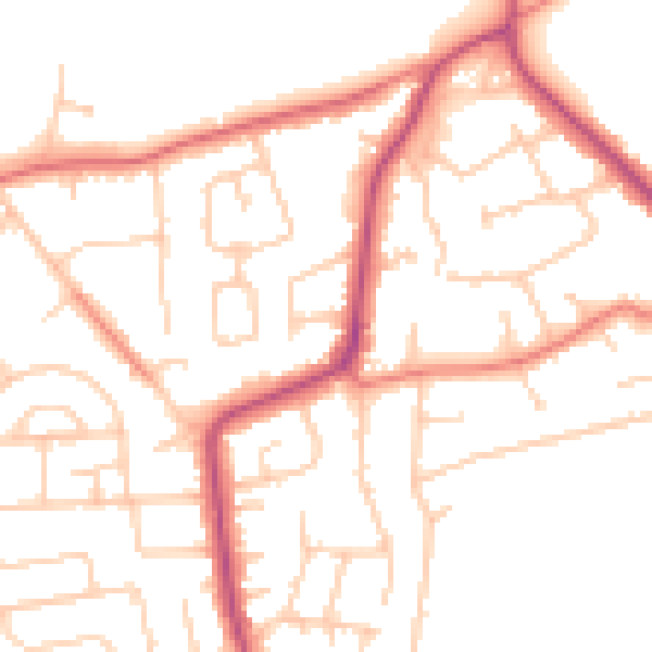
Daytime· 07:00 – 23:00
50.1dB

Night-time· 23:00 – 07:00
40.1dB