25 Grenville Drive, Wirral, CH61 5US
About 25 Grenville Drive
25 Grenville Drive is a three-bedroom semi-detached house in Wirral (CH61 5US). It has a recorded floor area of 99 m² (around 1066 sq ft), construction records dating it to 1950-1966 and council tax band C. Tenure is freehold. The latest certificate (May 2023) shows a D (score 67), on the cusp of jumping into the C band. The recommended improvements would push it to C (score 79). Other recorded features include a conservatory. Records show the property has been extended at some point in its history.
At 99 m² the property is well over the postcode median (66 m² across 17 EPCs), placing it in the larger end of the local stock. Across 1997–2023, sale prices on this property compounded at 7.7% per year. On a £-per-square-foot basis, the last sale (£286/sq ft) was about 38.3% above the typical sold price in the postcode. Sold August 2023 for £305,000.
What this property has
Inside
- Bedrooms3
- Bathrooms2
- EnsuiteYes
- ConservatoryYes
Outside
- Private gardenRear
- ParkingOff street
Building
- TenureFreehold
- Previously extendedYes
Everything you need to know about 25 Grenville Drive
The true value, the hidden risks and the full sale history, in one report.
30-day money-back guarantee

The data behind every report


Energy performance
EPC Rating
Planning history
25 Grenville Drive has no planning applications on record.
The full report still covers planning activity across the surrounding area.
Sales history & valuation
Latest sale on 25 Grenville Drive was the highest on Land Registry record across the postcode.
£299,000
Modelled from EPC, postcode comparables and a sale-price growth of 7.7% per year over 26 years.
£305,000
Growth on file: 7.7% per year over 26 years.
Sales timeline
20 August 2023Most recent
£305,000
+60.5%over 15 years22 February 2008
£190,000
+322.2%over 10 years23 October 1997
£45,000
Median price across the last 5 sales in CH61 5US: £218,500 (2025–2021).
Nearby sales in CH61 5US
Versus other Grenville Drive homes
Years Held for 25 Grenville Drive lags the street by a wide margin.
Price per m²
£3,081
Street avg £2,750
Floor Area
99 m²
Street avg 73 m²
Habitable Rooms
4 rooms
Street avg 4 rooms
CO₂ Emissions
3.9 t/year
Street avg 2.9 t/year
Everything you need to know about 25 Grenville Drive
The true value, the hidden risks and the full sale history, in one report.
30-day money-back guarantee
The data behind every report
Similar properties nearby
The neighbourhood at a glance
Crime
2/mo
Steady year-on-year across the wider district.
Nearest stop
0.2 km
Fishers Lane — bus stop.
Closest school
0.2 km
Ladymount Catholic Primary School. 10 schools nearby.
Go deeper on the local area
The full report breaks down crime, transport links, schools and air quality in depth.
Road noise across the postcode
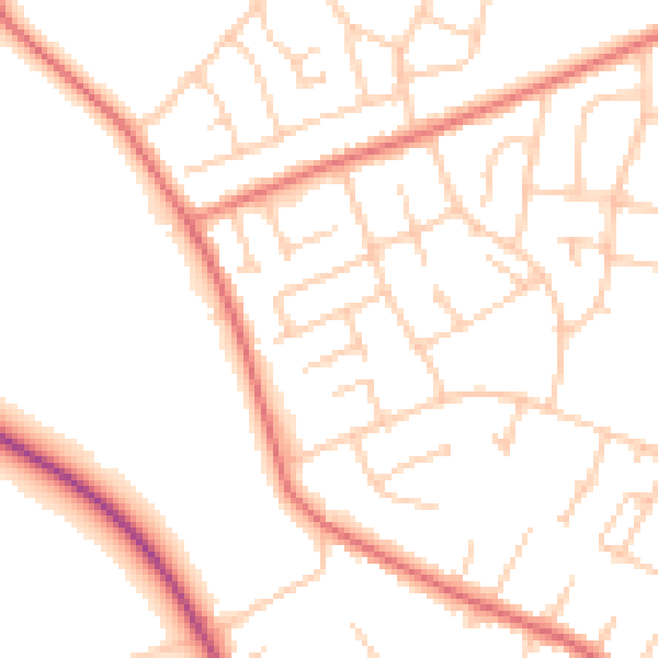
Daytime· 07:00 – 23:00
50.1dB

Night-time· 23:00 – 07:00
39.6dB