13 Greenbank Drive, Wirral, CH61 5UE
About 13 Greenbank Drive
13 Greenbank Drive is a three-bedroom semi-detached house in Wirral (CH61 5UE). It has a recorded floor area of 98 m² (around 1055 sq ft), construction records dating it to 1900-1929 and council tax band C. The latest certificate (March 2018) shows a D (score 58), a step below the typical UK home. The recommended improvements would lift it to B (score 81), a 2-band jump. Period features are noted in the property record. Records show the property has been extended at some point in its history.
Across 2007–2018, sale prices on this property compounded at 3.2% per year. Today's modelled estimate of £343,000 is 41.4% above the 2018 sale price. On a £-per-square-foot basis, the last sale (£230/sq ft) was about 53.7% above the typical sold price in the postcode. Last sale on file: £242,500 in June 2018.
What this property has
Inside
- Bedrooms3
- Bathrooms2
- Open-plan layoutYes
- Dining roomYes
- EnsuiteYes
Outside
- ParkingOff road
Building
- Heating systemGas
- Period featuresYes
- Previously extendedYes
- RefurbishedYes
Everything you need to know about 13 Greenbank Drive
The true value, the hidden risks and the full sale history, in one report.
30-day money-back guarantee

The data behind every report


Energy performance
Recommended upgrades on file would lift this property by multiple EPC bands.
EPC Rating
Planning history
13 Greenbank Drive has no planning applications on record.
The full report still covers planning activity across the surrounding area.
Sales history & valuation
13 Greenbank Drive valuation sits well clear of the typical sold price in this postcode.
£343,000
Modelled from EPC, postcode comparables and a sale-price growth of 3.2% per year over 11 years.
£242,500
Growth on file: 3.2% per year over 11 years.
Sales timeline
27 June 2018Most recent
£242,500
+42.6%over 11 years10 April 2007
£170,000
Median price across the last 5 sales in CH61 5UE: £255,000 (2025–2022).
Nearby sales in CH61 5UE
Versus other Greenbank Drive homes
Price per m²
£2,474
Street avg £2,106
Floor Area
98 m²
Street avg 105 m²
Habitable Rooms
5 rooms
Street avg 6 rooms
CO₂ Emissions
5.2 t/year
Street avg 5.6 t/year
Everything you need to know about 13 Greenbank Drive
The true value, the hidden risks and the full sale history, in one report.
30-day money-back guarantee
The data behind every report
Similar properties nearby
The neighbourhood at a glance
Daytime road noise here sits well below conversation level — a quiet pocket of the postcode.
Crime
2/mo
Steady year-on-year across the wider district.
Nearest stop
0.2 km
Kingsley Close — bus stop.
Closest school
0.2 km
Pensby Primary School. 10 schools nearby.
Go deeper on the local area
The full report breaks down crime, transport links, schools and air quality in depth.
Road noise across the postcode
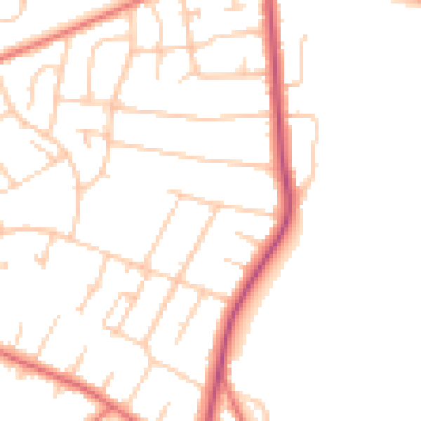
Daytime· 07:00 – 23:00
47.9dB

Night-time· 23:00 – 07:00
38.5dB