7 Lyndhurst Avenue, Wirral, CH61 5UD
About 7 Lyndhurst Avenue
7 Lyndhurst Avenue is a three-bedroom semi-detached house in Wirral (CH61 5UD). It has a recorded floor area of 123 m² (around 1329 sq ft), construction records dating it to 1930-1949 and council tax band C. The latest certificate (May 2011) shows an E (score 52), well below the UK norm with real room to improve. The recommended improvements would push it to D (score 63). The latest certificate is from May 2011, so improvements made since then won't be reflected. The home occupies a cul-de-sac position.
Today's modelled estimate of £335,000 is 26.4% above the 2018 sale price. On a £-per-square-foot basis, the last sale (£199/sq ft) was about 29.8% above the typical sold price in the postcode. On the market in January 2018 and unlisted since — roughly 8 years.
What this property has
Inside
- Bedrooms3
- Bathrooms1
- Dining roomYes
- CloakroomYes
Outside
- Private gardenRear
- ParkingOff road
- Cul-de-sacYes
Building
- Heating systemGas
Everything you need to know about 7 Lyndhurst Avenue
The true value, the hidden risks and the full sale history, in one report.
30-day money-back guarantee

The data behind every report


Energy performance
7 Lyndhurst Avenue's carbon output runs well above what efficient homes in the postcode produce.
EPC Expired
This certificate is over 10 years old and is no longer valid.Expired 18 May 2021
EPC Rating
Planning history
7 Lyndhurst Avenue has no planning applications on record.
The full report still covers planning activity across the surrounding area.
Sales history & valuation
7 Lyndhurst Avenue's sale-price growth has lagged the wider UK trajectory across its history on file.
£335,000
Modelled from EPC, postcode comparables and a sale-price growth of 0.4% per year over 13 years.
£265,000
Growth on file: 0.4% per year over 13 years.
Sales timeline
19 January 2018Most recent
£265,000
+15.2%over 6 years26 July 2011
£230,000
-8.0%over 6 years29 November 2004
£249,950
Median price across the last 5 sales in CH61 5UD: £300,000 (2021–2015).
Nearby sales in CH61 5UD
Versus other Lyndhurst Avenue homes
Price per m²
£2,146
Street avg £2,047
Floor Area
123 m²
Street avg 130 m²
Habitable Rooms
6 rooms
Street avg 6 rooms
CO₂ Emissions
7.0 t/year
Street avg 6.6 t/year
Everything you need to know about 7 Lyndhurst Avenue
The true value, the hidden risks and the full sale history, in one report.
30-day money-back guarantee
The data behind every report
Similar properties nearby
The neighbourhood at a glance
Daytime road noise here sits well below conversation level — a quiet pocket of the postcode.
Crime
2/mo
Steady year-on-year across the wider district.
Nearest stop
0.1 km
Kingsley Close — bus stop.
Closest school
0.3 km
Pensby Primary School. 10 schools nearby.
Go deeper on the local area
The full report breaks down crime, transport links, schools and air quality in depth.
Road noise across the postcode
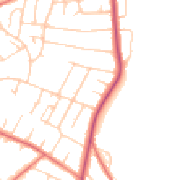
Daytime· 07:00 – 23:00
47.5dB

Night-time· 23:00 – 07:00
38.4dB