47 Marlston Avenue, Wirral, CH61 3XT
About 47 Marlston Avenue
47 Marlston Avenue is a three-bedroom semi-detached house in Wirral (CH61 3XT). It has a recorded floor area of 64 m² (around 689 sq ft), construction records dating it to 1967-1975 and council tax band C. The latest certificate (February 2020) shows a D (score 67), on the cusp of jumping into the C band. The rating has held steady at D across 2 certificates since December 2009. Between certificates, roof efficiency went from Average to Good. The recommended improvements would lift it to B (score 87), a 2-band jump. Other recorded features include a conservatory.
Held since August 2004 — that's 22 years off the open market, well above the local norm. Today's modelled estimate of £231,000 sits 62.7% above the 2004 sale of £142,000.
What this property has
Inside
- Bedrooms3
- Bathrooms1
- ConservatoryYes
Outside
- Private gardenYes
Everything you need to know about 47 Marlston Avenue
The true value, the hidden risks and the full sale history, in one report.
30-day money-back guarantee

The data behind every report


Energy performance
Recommended upgrades on file would lift this property by multiple EPC bands.
EPC Rating
Property Improvements
Changes detected from historical EPC data
Windows upgraded, improving insulation
Wall insulation upgraded
Roof insulation improved
Planning history
47 Marlston Avenue has no planning applications on record.
The full report still covers planning activity across the surrounding area.
Sales history & valuation
47 Marlston Avenue valuation sits well clear of the typical sold price in this postcode.
£231,000
Modelled from EPC, postcode comparables.
£142,000
Recorded with HM Land Registry.
Sales timeline
19 August 2004Most recent
£142,000
Median price across the last 5 sales in CH61 3XT: £212,000 (2025–2021).
Nearby sales in CH61 3XT
Versus other Marlston Avenue homes
47 Marlston Avenue outperforms the street on years held by a wide margin.
Price per m²
£2,219
Street avg £2,461
Floor Area
64 m²
Street avg 71 m²
Habitable Rooms
4 rooms
Street avg 4 rooms
CO₂ Emissions
2.8 t/year
Street avg 2.8 t/year
Everything you need to know about 47 Marlston Avenue
The true value, the hidden risks and the full sale history, in one report.
30-day money-back guarantee
The data behind every report
Similar properties nearby
1 Leafield Close
CH61 3XZ
10 Anderson Close
CH61 3UU
1 Brian Avenue
CH61 3UX
10 Benty Farm Grove
CH61 3YB
1 Elm Road, Irby
CH61 3UP
1 The Close, Irby
CH61 3UJ
10 Barker Road
CH61 3XH
1 Thingwall Road East
CH61 3UY
The neighbourhood at a glance
Daytime road noise here sits well below conversation level — a quiet pocket of the postcode.
Crime
2/mo
Steady year-on-year across the wider district.
Nearest stop
0.3 km
Barker Road — bus stop.
Closest school
0.8 km
Thingwall Primary School. 13 schools nearby.
Go deeper on the local area
The full report breaks down crime, transport links, schools and air quality in depth.
Road noise across the postcode
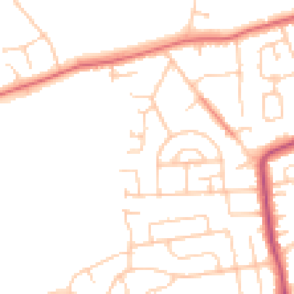
Daytime· 07:00 – 23:00
47.7dB

Night-time· 23:00 – 07:00
38.1dB