39 Marlston Avenue, Wirral, CH61 3XT
About 39 Marlston Avenue
39 Marlston Avenue is a two-bedroom semi-detached house in Wirral (CH61 3XT). It has a recorded floor area of 68 m² (around 732 sq ft), construction records dating it to 1967-1975 and council tax band C. The latest certificate (June 2015) shows a D (score 60), on the cusp of jumping into the C band. The recommended improvements would lift it to B (score 85), a 2-band jump. The latest certificate is from June 2015, so improvements made since then won't be reflected.
One planning record on file: an extension approved in 2002. Past consents include an extension, meaningful when judging how the property has evolved. Across 1998–2021, sale prices on this property compounded at 6.5% per year. Today's modelled estimate of £239,000 is 12.7% above the 2021 sale price. On a £-per-square-foot basis, the last sale (£290/sq ft) was about 57.1% above the typical sold price in the postcode. Last sale on file: £212,000 in December 2021. That sale was during the post-pandemic price surge, when transactions cleared materially above pre-2020 trend.
What this property has
Inside
- Bedrooms2
- Bathrooms1
Building
- Heating systemGas
- RefurbishedYes
Everything you need to know about 39 Marlston Avenue
The true value, the hidden risks and the full sale history, in one report.
30-day money-back guarantee

The data behind every report


Energy performance
Recommended upgrades on file would lift this property by multiple EPC bands.
EPC Expired
This certificate is over 10 years old and is no longer valid.Expired 07 Jun 2025
EPC Rating
Planning history
Council records include a two-storey side extension at 39 Marlston Avenue.
- Jan 2002ExtensionFullIn report
Extension: Two storey · Side of property
Erection of a two storey side extension.
- Documents
- 4 docs on file
- Reference
- APP/01/07285
What's in 39 Marlston Avenue, Wirral, CH61 3XT's planning history?
Refusals, disputes and full decisions on this property and nearby, in the report.
Sales history & valuation
Price for 39 Marlston Avenue has grown more than fourfold since the 1998 starting point.
£239,000
Modelled from EPC, postcode comparables and a sale-price growth of 6.5% per year over 24 years.
£212,000
Growth on file: 6.5% per year over 24 years.
Sales timeline
17 December 2021Most recent
£212,000
+35.5%over 6 years6 August 2015
£156,500
+226.0%over 17 years17 May 1998
£48,000
Median price across the last 5 sales in CH61 3XT: £210,000 (2025–2021).
Nearby sales in CH61 3XT
Versus other Marlston Avenue homes
EPC Rating for 39 Marlston Avenue lags the street by a wide margin.
Price per m²
£3,118
Street avg £2,401
Floor Area
68 m²
Street avg 71 m²
Habitable Rooms
3 rooms
Street avg 5 rooms
CO₂ Emissions
3.6 t/year
Street avg 2.8 t/year
Everything you need to know about 39 Marlston Avenue
The true value, the hidden risks and the full sale history, in one report.
30-day money-back guarantee
The data behind every report
Similar properties nearby
1 Thingwall Road East
CH61 3UY
10 Ambleside Close, Thingwall
CH61 3XG
1 Ambleside Close, Thingwall
CH61 3XG
1 Leafield Close
CH61 3XZ
10 Anderson Close
CH61 3UU
1 Brian Avenue
CH61 3UX
10 Benty Farm Grove
CH61 3YB
1 Elm Road, Irby
CH61 3UP
The neighbourhood at a glance
Daytime road noise here sits well below conversation level — a quiet pocket of the postcode.
Crime
2/mo
Steady year-on-year across the wider district.
Nearest stop
0.3 km
Barker Road — bus stop.
Closest school
0.8 km
Thingwall Primary School. 13 schools nearby.
Go deeper on the local area
The full report breaks down crime, transport links, schools and air quality in depth.
Road noise across the postcode
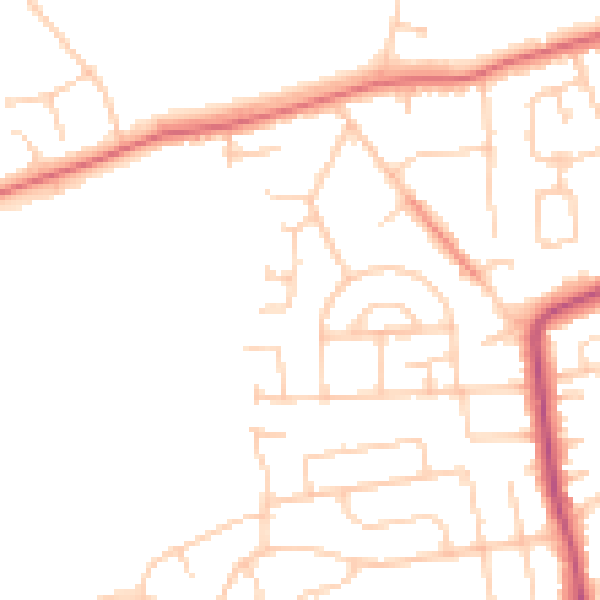
Daytime· 07:00 – 23:00
47.7dB

Night-time· 23:00 – 07:00
38.1dB