1 Marlston Avenue, Wirral, CH61 3XT
About 1 Marlston Avenue
1 Marlston Avenue is a detached house in Wirral (CH61 3XT). It has a recorded floor area of 55 m² (around 592 sq ft), construction records dating it to 1967-1975 and council tax band C. The latest certificate (March 2024) shows a C (score 69), just inside the C band. When first surveyed in June 2013 the rating was D, the property has climbed 1 band since. Between certificates, hot-water efficiency went from Poor to Good and lighting went from Poor to Very Good; while wall efficiency dropped from Good to Average and window efficiency dropped from Good to Average. The recommended improvements would push it to B (score 86).
At 55 m² it's 19.7% smaller than the typical home in the postcode (69 m² median across 18 EPCs).
Everything you need to know about 1 Marlston Avenue
The true value, the hidden risks and the full sale history, in one report.
30-day money-back guarantee

The data behind every report


Energy performance
EPC Rating
Property Improvements
Changes detected from historical EPC data
Hot water system upgraded
More low energy lighting installed
Planning history
1 Marlston Avenue has no planning applications on record.
The full report still covers planning activity across the surrounding area.
Sales history & valuation
1 Marlston Avenue has no Land Registry sales on file, suggesting it has stayed in the same hands since registration began.
£226,000
Modelled from EPC, postcode comparables.
No sales recorded with HM Land Registry
That can mean the property has never traded since the registry began publishing in 1995, was a new build that hasn't been registered yet, or is held in the same hands long-term.
Median price across the last 5 sales in CH61 3XT: £212,000 (2025–2021).
Nearby sales in CH61 3XT
Versus other Marlston Avenue homes
On floor area, 1 Marlston Avenue runs well behind the street norm.
EPC Rating
69 (C)
Street avg 68 (D)
Floor Area
55 m²
Street avg 72 m²
CO₂ Emissions
2.4 t/year
Street avg 2.8 t/year
Habitable Rooms
3 rooms
Street avg 5 rooms
Everything you need to know about 1 Marlston Avenue
The true value, the hidden risks and the full sale history, in one report.
30-day money-back guarantee
The data behind every report
Similar properties nearby
1 Leafield Close
CH61 3XZ
1 Thingwall Road East
CH61 3UY
1 Heywood Boulevard
CH61 3XB
10 Anderson Close
CH61 3UU
1 Parkway Close
CH61 3XL
1 Heywood Close
CH61 3XD
10 Ambleside Close, Thingwall
CH61 3XG
1 Ambleside Close, Thingwall
CH61 3XG
The neighbourhood at a glance
Daytime road noise here sits well below conversation level — a quiet pocket of the postcode.
Crime
2/mo
Steady year-on-year across the wider district.
Nearest stop
0.3 km
Barker Road — bus stop.
Closest school
0.8 km
Thingwall Primary School. 13 schools nearby.
Go deeper on the local area
The full report breaks down crime, transport links, schools and air quality in depth.
Road noise across the postcode
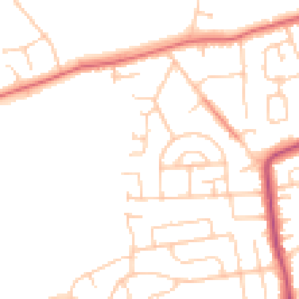
Daytime· 07:00 – 23:00
47.7dB

Night-time· 23:00 – 07:00
38.1dB