5 Woodlands Drive, Wirral, CH61 1AP
About 5 Woodlands Drive
5 Woodlands Drive is a two-bedroom detached house in Wirral (CH61 1AP). It has a recorded floor area of 69 m² (around 743 sq ft), construction records dating it to 1930-1949 and council tax band D. The latest certificate (January 2022) shows a D (score 64), on the cusp of jumping into the C band. The recommended improvements would lift it to B (score 84), a 2-band jump. Our model identifies extension potential, subject to local planning policy.
At 69 m² it sits well below the postcode median (123 m² across 5 EPCs), making it one of the more compact homes locally. Across 2016–2022, sale prices on this property compounded at 8.3% per year. On a £-per-square-foot basis, the last sale (£498/sq ft) was about 229.7% above the typical sold price in the postcode. Last sale on file: £370,000 in April 2022. That sale was during the post-pandemic price surge, when transactions cleared materially above pre-2020 trend.
What this property has
Inside
- Bedrooms2
- Bathrooms1
Outside
- Private gardenRear
- GarageSingle
Building
- RefurbishedYes
- Extension potentialPossible
Everything you need to know about 5 Woodlands Drive
The true value, the hidden risks and the full sale history, in one report.
30-day money-back guarantee

The data behind every report


Energy performance
Recommended upgrades on file would lift this property by multiple EPC bands.
EPC Rating
Planning history
5 Woodlands Drive has no planning applications on record.
The full report still covers planning activity across the surrounding area.
Sales history & valuation
The latest sale landed in the post-pandemic price surge — useful context when reading the figure.
£365,000
Modelled from EPC, postcode comparables and a sale-price growth of 8.3% per year over 5 years.
£370,000
Growth on file: 8.3% per year over 5 years.
Sales timeline
13 April 2022Most recent
£370,000
+54.2%over 5 years11 November 2016
£240,000
Median price across the last 5 sales in CH61 1AP: £335,000 (2023–2014).
Versus other Woodlands Drive homes
On price per m², 5 Woodlands Drive stands well clear of the street.
Price per m²
£5,362
Street avg £3,019
Floor Area
69 m²
Street avg 144 m²
Habitable Rooms
4 rooms
Street avg 6 rooms
CO₂ Emissions
3.3 t/year
Street avg 7.1 t/year
Everything you need to know about 5 Woodlands Drive
The true value, the hidden risks and the full sale history, in one report.
30-day money-back guarantee
The data behind every report
Similar properties nearby
The neighbourhood at a glance
Daytime road noise here sits well below conversation level — a quiet pocket of the postcode.
Crime
2/mo
Steady year-on-year across the wider district.
Nearest stop
0.2 km
Woodlands Drive — bus stop.
Closest school
1.3 km
Thingwall Primary School. 11 schools nearby.
Go deeper on the local area
The full report breaks down crime, transport links, schools and air quality in depth.
Road noise across the postcode
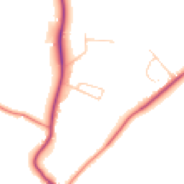
Daytime· 07:00 – 23:00
47.6dB

Night-time· 23:00 – 07:00
39.0dB