4 Ford Lane, Wirral, CH49 0TT
EPC A
About 4 Ford Lane
A plain-English summary derived from public records, EPC certificates, sold prices and local data.
4 Ford Lane is a two-bedroom detached house in Wirral (CH49 0TT). It has a recorded floor area of 68 m² (around 732 sq ft), construction records dating it to 1976-1982 and council tax band C. The latest certificate (April 2023) returns an A (score 94), the top energy band on the EPC scale. When first surveyed in March 2016 the rating was D, the property has climbed 3 bands since. Between certificates, roof efficiency went from Good to Very Good and window efficiency went from Average to Good.
Sale prices here have outpaced Wirral HPI: 5.2% per year against 0% for the wider region. Today's modelled estimate of £239,000 is 43.1% above the 2021 sale price. On a £-per-square-foot basis, the last sale (£228/sq ft) was about 71.5% above the typical sold price in the postcode. At 68 m² it sits well below the postcode median (100 m² across 5 EPCs), making it one of the more compact homes locally. On energy efficiency it sits in the top 10% of properties in this postcode. Sold September 2021 for £167,000. That sale was during the post-pandemic price surge, when transactions cleared materially above pre-2020 trend.
What this property has
Pulled from EPC certificates, claim submissions and our property model. Empty categories are hidden — we only show what's known.
Inside
- Bedrooms2
- Bathrooms1
- Dining roomYes
- EnsuiteYes
Energy performance
Every EPC certificate filed against this property — current rating, recorded improvements, and where there's headroom to reach a higher band.
4 Ford Lane ranks among the most efficient homes in the postcode for energy use.
Current Certificate(1 of 5)
Apr 2023
EPC Rating
A
A94
B
C
D
E
F
G
Main Heating
Gas
Main Fuel
Gas
Hot Water
Good
Windows
Good
CO2 Emissions
0.6 t/year
Occupancy
Owner Occupied
Planning history
Applications and permits filed against 4 Ford Lane, Wirral, CH49 0TT, sourced from the PlanIt planning register.
No planning applications are recorded against 4 Ford Lane, Wirral, CH49 0TT. The full report also covers planning activity across the surrounding area.
Full planning data for 4 Ford Lane, Wirral, CH49 0TT
Every application and decision on this property and nearby, in full, in the report.
Sales history & valuation
Recorded transactions, our model's current estimate, and a quick read on what neighbouring properties have sold for.
Sale price has at least doubled since 2000.
Current estimate
See how we calculated this£239,000
Modelled from EPC, postcode comparables and a sale-price growth of 5.2% per year over 21 years.
Last sold (2021)
£167,000
Growth on file: 5.2% per year over 21 years.
Sales timeline
Launch offer · 33% off
The complete analysis of 4 Ford Lane, Wirral, CH49 0TT
Everything we know about this property, compiled into one in-depth, downloadable report.
Detailed analysis
A written breakdown of everything that matters
Versus other Ford Lane homes
Four headline reads against 5 similar houses on this street, drawn from the latest EPC and Land Registry data.
On price per m², 4 Ford Lane stands well clear of the street.
Price per m²
£2,456
Street avg £1,638
Floor Area
68 m²
Street avg 119 m²
Habitable Rooms
3 rooms
Street avg 5 rooms
Similar properties nearby
A handful of close matches in the same postcode area, ranked by likeness on bedrooms, type and floor area.
The neighbourhood at a glance
A condensed read of the local area. Each tile links through to the full breakdown on the Wirral district page.
Rail-style transport is unusually close for this postcode.
Crime
4/mo
Steady year-on-year across the wider district.
Nearest stop
0.1 km
The Warren — bus stop.
Road noise across the postcode
Modelled day and night-time noise levels around CH49 0TT from Defra's strategic mapping. The pin marks this postcode's centroid.
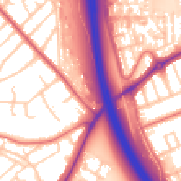
Daytime· 07:00 – 23:00
59.0dB

Everything within walking distance
Schools, transport stops and scenic spots near this property — 64 points of interest in total.
Common questions
The questions buyers, sellers and homeowners most often ask about 4 Ford Lane, Wirral, CH49 0TT. Each answer is also embedded as structured data for search engines.
