5 Harvest Lane, Wirral, CH46 7UF
About 5 Harvest Lane
5 Harvest Lane is a semi-detached house in Wirral (CH46 7UF). It has a recorded floor area of 101 m² (around 1087 sq ft), construction records dating it to 1900-1929 and council tax band A. The latest certificate (March 2014) shows a C (score 69), just inside the C band. The recommended improvements would push it to B (score 88). The latest certificate is from March 2014, so improvements made since then won't be reflected.
It hasn't traded since April 2002, a hold of 24 years that's notably long for the area. Today's modelled estimate of £171,000 sits 210.9% above the 2002 sale of £55,000. On a £-per-square-foot basis, the last sale (£51/sq ft) was about 51.5% below the postcode norm. 3 planning records sit against the property, 3 approved, 0 refused. Past consents include an extension, meaningful when judging how the property has evolved. Its energy rating outperforms most of the postcode (better than 86% of similar EPCs).
Know exactly what you're buying at 5 Harvest Lane
Before you offer, see what the listing won't tell you, the true value, the red flags and the full history.
Valuation
against the asking price
Risks
planning & flood
Sold prices
similar homes nearby
Trends
the local market
Energy performance
5 Harvest Lane's EPC is over a decade old — improvements since won't be reflected.
EPC Expired
This certificate is over 10 years old and is no longer valid.Expired 03 Mar 2024
EPC Rating
Planning history
5 Harvest Lane has 3 separate extension applications on the council record.
- Apr 2012ExtensionFullIn report
Extension: Single storey · Side of property
First floor extension over existing garage to gable
- Agent
- Building Design Solutions Ltd
- Documents
- 9 docs on file
- Reference
- APP/12/00236
- Nov 2003ExtensionFullIn report
Extension: Single storey
Single storey garage and kitchen extension.
- Documents
- 5 docs on file
- Reference
- APP/03/07247
What's in 5 Harvest Lane, Wirral, CH46 7UF's planning history?
1 more on this property, plus refusals, disputes and full decisions nearby, in the report.
Sales history & valuation
5 Harvest Lane's estimated value is more than triple its earliest registered sale price (2002).
£171,000
Modelled from EPC, postcode comparables.
£55,000
Recorded with HM Land Registry.
Sales timeline
18 April 2002Most recent
£55,000
Median price across the last 5 sales in CH46 7UF: £150,000 (2025–2021).
Everything we know about 5 Harvest Lane, in one report
What it's really worth, what could be wrong, and the planning, sales and area data in full.
- Am I paying too much?
- Is something wrong with it?
- Is the agent's story true?
- Will it hold its value?

Versus other Harvest Lane homes
5 Harvest Lane outperforms the street on habitable rooms by a wide margin.
Price per m²
£545
Street avg £1,288
Floor Area
101 m²
Street avg 89 m²
Habitable Rooms
6 rooms
Street avg 5 rooms
CO₂ Emissions
3.4 t/year
Street avg 4.0 t/year
Similar properties nearby
The neighbourhood at a glance
Rail-style transport is unusually close for this postcode.
Crime
4/mo
Rising year-on-year across the wider district.
Nearest stop
0.1 km
Flaxhill — bus stop.
Closest school
0.2 km
Lingham Primary School. 17 schools nearby.
Go deeper on the local area
The full report breaks down crime, transport links, schools and air quality in depth.
Road noise across the postcode
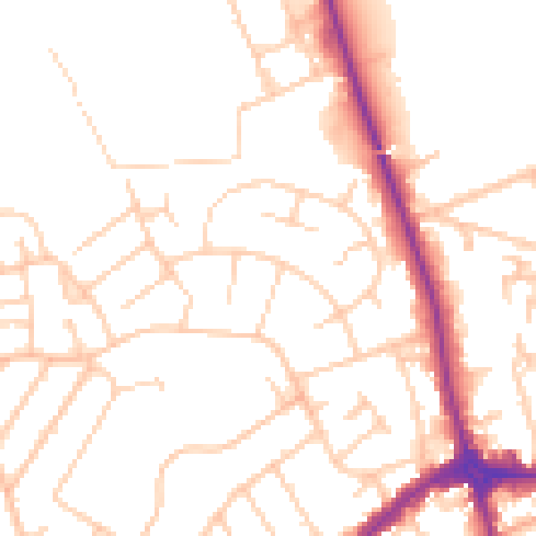
Daytime· 07:00 – 23:00
51.0dB

Night-time· 23:00 – 07:00
40.6dB