39 Harvest Lane, Wirral, CH46 7UF
About 39 Harvest Lane
39 Harvest Lane is a two-bedroom semi-detached house in Wirral (CH46 7UF). It has a recorded floor area of 82 m² (around 883 sq ft), construction records dating it to 1930-1949 and council tax band A. The latest certificate (November 2016) shows an E (score 49), well below the UK norm with real room to improve. Earlier certificates rated it C (March 2013); the latest reading is 2 bands lower. Between certificates, wall efficiency dropped from Good to Poor and roof efficiency dropped from Good to Average. The recommended improvements would lift it to B (score 83), a 3-band jump. Other recorded features include outbuildings.
On energy efficiency it sits in the bottom 10% of properties in this postcode — significant headroom for improvement. Across 2013–2022, sale prices on this property compounded at 7.4% per year. Today's modelled estimate of £171,000 is 16.3% above the 2022 sale price. On a £-per-square-foot basis, the last sale (£167/sq ft) was about 74.9% above the typical sold price in the postcode. Most recent transfer: February 2022 at £147,000. That sale was during the post-pandemic price surge, when transactions cleared materially above pre-2020 trend.
Know exactly what you're buying at 39 Harvest Lane
Before you offer, see what the listing won't tell you, the true value, the red flags and the full history.
Valuation
against the asking price
Risks
planning & flood
Sold prices
similar homes nearby
Trends
the local market
What this property has
Inside
- Bedrooms2
- Bathrooms1
Outside
- Private gardenYes
- DrivewayYes
- OutbuildingsYes
Energy performance
39 Harvest Lane sits at the bottom of the postcode for energy efficiency — meaningful headroom to improve.
EPC Rating
Planning history
39 Harvest Lane has no planning applications on record.
The full report still covers planning activity across the surrounding area.
Sales history & valuation
39 Harvest Lane saw 3 transfers in just over a decade — high turnover for the postcode.
£171,000
Modelled from EPC, postcode comparables and a sale-price growth of 7.4% per year over 8 years.
£147,000
Growth on file: 7.4% per year over 8 years.
Sales timeline
21 February 2022Most recent
£147,000
+44.1%over 4 years20 February 2018
£102,000
+27.5%over 4 years1 September 2013
£80,000
Median price across the last 5 sales in CH46 7UF: £150,000 (2025–2020).
Everything we know about 39 Harvest Lane, in one report
What it's really worth, what could be wrong, and the planning, sales and area data in full.
- Am I paying too much?
- Is something wrong with it?
- Is the agent's story true?
- Will it hold its value?

Versus other Harvest Lane homes
EPC Rating for 39 Harvest Lane lags the street by a wide margin.
Price per m²
£1,793
Street avg £1,163
Floor Area
82 m²
Street avg 90 m²
Habitable Rooms
4 rooms
Street avg 5 rooms
CO₂ Emissions
5.1 t/year
Street avg 3.9 t/year
Similar properties nearby
The neighbourhood at a glance
Rail-style transport is unusually close for this postcode.
Crime
4/mo
Rising year-on-year across the wider district.
Nearest stop
0.1 km
Flaxhill — bus stop.
Closest school
0.2 km
Lingham Primary School. 17 schools nearby.
Go deeper on the local area
The full report breaks down crime, transport links, schools and air quality in depth.
Road noise across the postcode
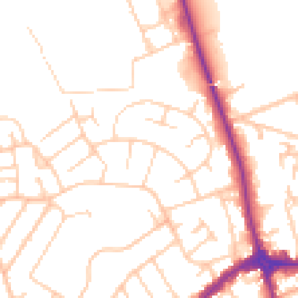
Daytime· 07:00 – 23:00
51.0dB

Night-time· 23:00 – 07:00
40.6dB