45 Harvest Lane, Wirral, CH46 7UF
About 45 Harvest Lane
45 Harvest Lane is a two-bedroom semi-detached house in Wirral (CH46 7UF). It has a recorded floor area of 82 m² (around 878 sq ft), construction records dating it to 1950-1966 and council tax band A. The latest certificate (February 2009) shows a D (score 55), a step below the typical UK home. The recommended improvements would push it to C (score 71). The latest certificate is from February 2009, so improvements made since then won't be reflected.
It hasn't traded since April 2009, a hold of 17 years that's notably long for the area. That sale fell during the post-crash dip, which often skews comparisons against later neighbouring sales. Across 1999–2009, sale prices on this property compounded at 10.2% per year. Today's modelled estimate of £134,000 is 46.4% above the 2009 sale price.
Know exactly what you're buying at 45 Harvest Lane
Before you offer, see what the listing won't tell you, the true value, the red flags and the full history.
Valuation
against the asking price
Risks
planning & flood
Sold prices
similar homes nearby
Trends
the local market
What this property has
Inside
- Bedrooms2
Outside
- Private gardenYes
Energy performance
45 Harvest Lane's EPC is over a decade old — improvements since won't be reflected.
EPC Expired
This certificate is over 10 years old and is no longer valid.Expired 24 Feb 2019
EPC Rating
Planning history
45 Harvest Lane has no planning applications on record.
The full report still covers planning activity across the surrounding area.
Sales history & valuation
Sale price has at least doubled since 1999.
£134,000
Modelled from EPC, postcode comparables and a sale-price growth of 10.2% per year over 10 years.
£91,500
Growth on file: 10.2% per year over 10 years.
Sales timeline
2 April 2009Most recent
£91,500
+165.2%over 10 years2 March 1999
£34,500
Median price across the last 5 sales in CH46 7UF: £150,000 (2025–2021).
Everything we know about 45 Harvest Lane, in one report
What it's really worth, what could be wrong, and the planning, sales and area data in full.
- Am I paying too much?
- Is something wrong with it?
- Is the agent's story true?
- Will it hold its value?

Versus other Harvest Lane homes
EPC Rating for 45 Harvest Lane lags the street by a wide margin.
Price per m²
£1,122
Street avg £1,230
Floor Area
82 m²
Street avg 90 m²
Habitable Rooms
4 rooms
Street avg 5 rooms
CO₂ Emissions
4.4 t/year
Street avg 4.0 t/year
Similar properties nearby
The neighbourhood at a glance
Rail-style transport is unusually close for this postcode.
Crime
4/mo
Rising year-on-year across the wider district.
Nearest stop
0.1 km
Flaxhill — bus stop.
Closest school
0.2 km
Lingham Primary School. 17 schools nearby.
Go deeper on the local area
The full report breaks down crime, transport links, schools and air quality in depth.
Road noise across the postcode
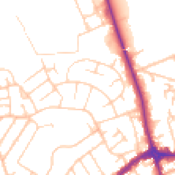
Daytime· 07:00 – 23:00
51.0dB

Night-time· 23:00 – 07:00
40.6dB