23 Harvest Lane, Wirral, CH46 7UF
About 23 Harvest Lane
23 Harvest Lane is a semi-detached house in Wirral (CH46 7UF). It has a recorded floor area of 99 m² (around 1066 sq ft), construction records dating it to 1950-1966 and council tax band A. The latest certificate (September 2024) shows a D (score 62), on the cusp of jumping into the C band. The rating has held steady at D across 2 certificates since July 2014. Between certificates, lighting went from Average to Very Good; while wall efficiency dropped from Good to Average and roof efficiency dropped from Average to Very Poor. The recommended improvements would lift it to B (score 82), a 2-band jump.
Untraded for 28 years, with the last transfer in June 1998. Only one transfer is on record with HM Land Registry, suggesting it has stayed in the same hands for a long time. Today's modelled estimate of £157,000 sits 554.2% above the 1998 sale of £24,000. On a £-per-square-foot basis, the last sale (£23/sq ft) was about 78.4% below the postcode norm.
Know exactly what you're buying at 23 Harvest Lane
Before you offer, see what the listing won't tell you, the true value, the red flags and the full history.
Valuation
against the asking price
Risks
planning & flood
Sold prices
similar homes nearby
Trends
the local market
Energy performance
Recommended upgrades on file would lift this property by multiple EPC bands.
EPC Rating
Property Improvements
Changes detected from historical EPC data
More low energy lighting installed
Planning history
23 Harvest Lane has no planning applications on record.
The full report still covers planning activity across the surrounding area.
Sales history & valuation
Latest sale on 23 Harvest Lane was the lowest on Land Registry record across the postcode.
£157,000
Modelled from EPC, postcode comparables.
£24,000
Recorded with HM Land Registry.
Sales timeline
11 June 1998Most recent
£24,000
Median price across the last 5 sales in CH46 7UF: £150,000 (2025–2021).
Everything we know about 23 Harvest Lane, in one report
What it's really worth, what could be wrong, and the planning, sales and area data in full.
- Am I paying too much?
- Is something wrong with it?
- Is the agent's story true?
- Will it hold its value?

Versus other Harvest Lane homes
23 Harvest Lane is notably below the street on price per m².
Price per m²
£242
Street avg £1,318
Floor Area
99 m²
Street avg 89 m²
Habitable Rooms
5 rooms
Street avg 5 rooms
CO₂ Emissions
4.6 t/year
Street avg 3.9 t/year
Similar properties nearby
The neighbourhood at a glance
Rail-style transport is unusually close for this postcode.
Crime
4/mo
Rising year-on-year across the wider district.
Nearest stop
0.1 km
Flaxhill — bus stop.
Closest school
0.2 km
Lingham Primary School. 17 schools nearby.
Go deeper on the local area
The full report breaks down crime, transport links, schools and air quality in depth.
Road noise across the postcode
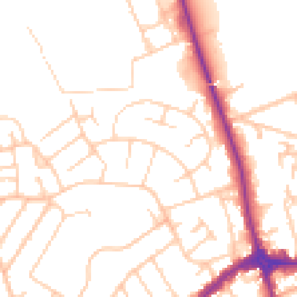
Daytime· 07:00 – 23:00
51.0dB

Night-time· 23:00 – 07:00
40.6dB