20 Bradman Road, Wirral, CH46 7SH
About 20 Bradman Road
20 Bradman Road is a four-bedroom detached house in Wirral (CH46 7SH). It has a recorded floor area of 144 m² (around 1550 sq ft), construction records dating it to 2007-2011 and council tax band D. Tenure is freehold. The latest certificate (October 2024) returns a high B (score 89), putting the home a stone's throw from an A rating. The rating has held steady at B across 3 certificates since August 2010. Between certificates, roof efficiency went from Good to Very Good and lighting went from Average to Good; while wall efficiency dropped from Very Good to Good and window efficiency dropped from Very Good to Good. The property has solar panels and underfloor heating on record, all of which lower running costs and tend to lift resale appeal. Other recorded features include a conservatory.
At 144 m² the property is well over the postcode median (92 m² across 17 EPCs), placing it in the larger end of the local stock. Its energy rating outperforms most of the postcode (better than 88% of similar EPCs). It changed hands recently, sold January 2025 for £352,000. Across 1995–2025, sale prices on this property compounded at 11.1% per year. Today's modelled estimate of £400,000 is 13.6% above the 2025 sale price. On a £-per-square-foot basis, the last sale (£227/sq ft) was about 50.1% above the typical sold price in the postcode. 2 planning records sit against the property, 2 approved, 0 refused.
Know exactly what you're buying at 20 Bradman Road
Before you offer, see what the listing won't tell you, the true value, the red flags and the full history.
Valuation
against the asking price
Risks
planning & flood
Sold prices
similar homes nearby
Trends
the local market
What this property has
Inside
- Bedrooms4
- Bathrooms3
- Dining roomYes
- ConservatoryYes
Outside
- Private gardenYes
- DrivewayYes
Building
- TenureFreehold
- Underfloor heatingYes
- Solar panelsYes
Energy performance
EPC Rating
Property Improvements
Changes detected from historical EPC data
Heating controls changed
Hot water system upgraded
Loft insulation upgraded to recommended levels
More low energy lighting installed
Heating controls changed
Hot water system changed
Low energy lighting percentage decreased
Planning history
- Sept 2007Demolition And RebuildFullIn report
Demolition of existing dwelling and erection of a new two storey dwelling (Amendment to Planning Approval APP/2007/5242)
- Reference
- APP/07/06648
- Apr 2007Demolition And RebuildFullIn report
Demolition of existing dwelling and erection of a new two storey dwelling
- Documents
- 6 docs on file
- Reference
- APP/07/05242
What's in 20 Bradman Road, Wirral, CH46 7SH's planning history?
Refusals, disputes and full decisions on this property and nearby, in the report.
Sales history & valuation
Latest sale on 20 Bradman Road was the highest on Land Registry record across the postcode.
£400,000
Modelled from EPC, postcode comparables and a sale-price growth of 11.1% per year over 30 years.
£352,000
Growth on file: 11.1% per year over 30 years.
Sales timeline
16 January 2025Most recent
£352,000
+369.3%over 18 years28 September 2006
£75,000
+226.1%over 6 years20 January 2000
£23,000
+12.2%over 1 year14 September 1998
£20,500
+36.7%over 3 years9 February 1995
£15,000
Median price across the last 5 sales in CH46 7SH: £235,000 (2025–2022).
Everything we know about 20 Bradman Road, in one report
What it's really worth, what could be wrong, and the planning, sales and area data in full.
- Am I paying too much?
- Is something wrong with it?
- Is the agent's story true?
- Will it hold its value?

Versus other Bradman Road homes
On epc rating, 20 Bradman Road stands well clear of the street.
Price per m²
£2,444
Street avg £1,813
Floor Area
144 m²
Street avg 99 m²
Habitable Rooms
5 rooms
Street avg 5 rooms
CO₂ Emissions
1.7 t/year
Street avg 3.8 t/year
Similar properties nearby
The neighbourhood at a glance
Rail-style transport is unusually close for this postcode.
Crime
4/mo
Rising year-on-year across the wider district.
Nearest stop
0.1 km
Wastdale Drive — bus stop.
Closest school
0.4 km
Lingham Primary School. 15 schools nearby.
Go deeper on the local area
The full report breaks down crime, transport links, schools and air quality in depth.
Road noise across the postcode
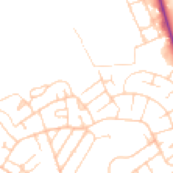
Daytime· 07:00 – 23:00
47.6dB

Night-time· 23:00 – 07:00
37.8dB