17 Bradman Road, Wirral, CH46 7SH
About 17 Bradman Road
17 Bradman Road is a three-bedroom detached house in Wirral (CH46 7SH). It has a recorded floor area of 86 m² (around 926 sq ft), construction records dating it to 1950-1966 and council tax band C. Tenure is freehold. The latest certificate (December 2024) shows a D (score 58), a step below the typical UK home. The recommended improvements would lift it to B (score 82), a 2-band jump.
It changed hands recently, sold June 2025 for £235,000. Today's modelled estimate of £293,000 is 24.7% above the 2025 sale price. On a £-per-square-foot basis, the last sale (£254/sq ft) was about 115.9% above the typical sold price in the postcode.
Know exactly what you're buying at 17 Bradman Road
Before you offer, see what the listing won't tell you, the true value, the red flags and the full history.
Valuation
against the asking price
Risks
planning & flood
Sold prices
similar homes nearby
Trends
the local market
What this property has
Inside
- Bedrooms3
- Bathrooms1
Outside
- Private gardenRear
- GarageYes
Building
- TenureFreehold
- RefurbishedYes
Energy performance
Recommended upgrades on file would lift this property by multiple EPC bands.
EPC Rating
Planning history
17 Bradman Road has no planning applications on record.
The full report still covers planning activity across the surrounding area.
Sales history & valuation
17 Bradman Road valuation sits well clear of the typical sold price in this postcode.
£293,000
Modelled from EPC, postcode comparables.
£235,000
Recorded with HM Land Registry.
Sales timeline
19 June 2025Most recent
£235,000
Median price across the last 5 sales in CH46 7SH: £290,000 (2025–2022).
Everything we know about 17 Bradman Road, in one report
What it's really worth, what could be wrong, and the planning, sales and area data in full.
- Am I paying too much?
- Is something wrong with it?
- Is the agent's story true?
- Will it hold its value?

Versus other Bradman Road homes
On years held, 17 Bradman Road runs well behind the street norm.
Price per m²
£2,733
Street avg £1,791
Floor Area
86 m²
Street avg 102 m²
Habitable Rooms
4 rooms
Street avg 5 rooms
CO₂ Emissions
4.6 t/year
Street avg 3.7 t/year
Similar properties nearby
The neighbourhood at a glance
Rail-style transport is unusually close for this postcode.
Crime
4/mo
Rising year-on-year across the wider district.
Nearest stop
0.1 km
Wastdale Drive — bus stop.
Closest school
0.4 km
Lingham Primary School. 15 schools nearby.
Go deeper on the local area
The full report breaks down crime, transport links, schools and air quality in depth.
Road noise across the postcode
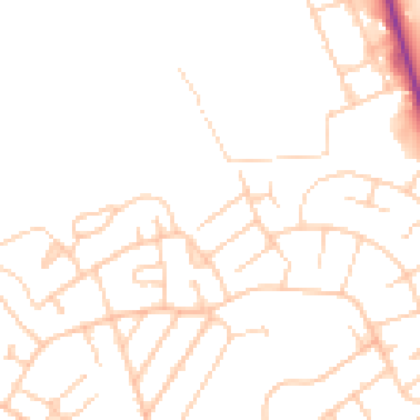
Daytime· 07:00 – 23:00
47.6dB

Night-time· 23:00 – 07:00
37.8dB