9 Belford Drive, Wirral, CH46 6ER
About 9 Belford Drive
9 Belford Drive is a three-bedroom semi-detached house in Wirral (CH46 6ER). It has a recorded floor area of 66 m² (around 710 sq ft), construction records dating it to 1983-1990 and council tax band B. The latest certificate (May 2015) shows a D (score 61), on the cusp of jumping into the C band. The recommended improvements would lift it to B (score 85), a 2-band jump. The latest certificate is from May 2015, so improvements made since then won't be reflected.
Sold June 2021 for £173,500. Across the public record there are 4 sales, relatively high churn for a single property. That sale was during the post-pandemic price surge, when transactions cleared materially above pre-2020 trend. Across 1998–2021, sale prices on this property compounded at 6.2% per year. Today's modelled estimate of £205,000 is 18.2% above the 2021 sale price. On a £-per-square-foot basis, the last sale (£244/sq ft) was about 49.3% above the typical sold price in the postcode.
Know exactly what you're buying at 9 Belford Drive
Before you offer, see what the listing won't tell you, the true value, the red flags and the full history.
Valuation
against the asking price
Risks
planning & flood
Sold prices
similar homes nearby
Trends
the local market
What this property has
Inside
- Bedrooms3
- Bathrooms1
Outside
- Private gardenYes
- DrivewayYes
Energy performance
Recommended upgrades on file would lift this property by multiple EPC bands.
EPC Expired
This certificate is over 10 years old and is no longer valid.Expired 26 May 2025
EPC Rating
Planning history
9 Belford Drive has no planning applications on record.
The full report still covers planning activity across the surrounding area.
Sales history & valuation
Sale price has grown by over 3x since 1998.
£205,000
Modelled from EPC, postcode comparables and a sale-price growth of 6.2% per year over 23 years.
£173,500
Growth on file: 6.2% per year over 23 years.
Sales timeline
29 June 2021Most recent
£173,500
+22.2%over 5 years8 October 2015
£142,000
+1.1%over 7 years19 November 2007
£140,500
+212.6%over 8 years27 November 1998
£44,950
Median price across the last 5 sales in CH46 6ER: £190,000 (2024–2017).
Everything we know about 9 Belford Drive, in one report
What it's really worth, what could be wrong, and the planning, sales and area data in full.
- Am I paying too much?
- Is something wrong with it?
- Is the agent's story true?
- Will it hold its value?

Versus other Belford Drive homes
On floor area, 9 Belford Drive runs well behind the street norm.
Price per m²
£2,629
Street avg £2,281
Floor Area
66 m²
Street avg 76 m²
Habitable Rooms
5 rooms
Street avg 4 rooms
CO₂ Emissions
3.4 t/year
Street avg 3.0 t/year
Similar properties nearby
The neighbourhood at a glance
Reported crime in the wider district is trending notably upward year-on-year.
Crime
4/mo
Rising year-on-year across the wider district.
Nearest stop
0.1 km
Carr House Lane — bus stop.
Closest school
0.9 km
Lingham Primary School. 14 schools nearby.
Go deeper on the local area
The full report breaks down crime, transport links, schools and air quality in depth.
Road noise across the postcode
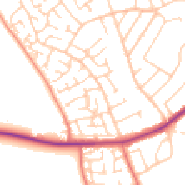
Daytime· 07:00 – 23:00
51.5dB

Night-time· 23:00 – 07:00
40.9dB