15 Carr Hey, Wirral, CH46 6EL
About 15 Carr Hey
15 Carr Hey is a property in Wirral (CH46 6EL). It has council tax band B.
Untraded for 22 years, with the last transfer in May 2004. One planning record on file: an extension approved in 2014. Past consents include an extension, meaningful when judging how the property has evolved. Across 1996–2004, sale prices on this property compounded at 12.8% per year.
Know exactly what you're buying at 15 Carr Hey
Before you offer, see what the listing won't tell you, the true value, the red flags and the full history.
Valuation
against the asking price
Risks
planning & flood
Sold prices
similar homes nearby
Trends
the local market
Energy performance
No EPC on record
This property doesn't have an Energy Performance Certificate yet. An EPC is required to sell or let — and unlocks our automated valuation.
Planning history
Council records include a two-storey extension at 15 Carr Hey.
- Aug 2014ExtensionFullIn report
Extension: Two storey
Erection of a front and side 2 storey extension
- Documents
- 4 docs on file
- Reference
- APP/14/00765
What's in 15 Carr Hey, Wirral, CH46 6EL's planning history?
Refusals, disputes and full decisions on this property and nearby, in the report.
Sales history & valuation
15 Carr Hey has more than doubled in price since the earliest registered sale in 1996.
£113,450
Growth on file: 12.8% per year over 8 years.
Sales timeline
11 May 2004Most recent
£113,450
+131.5%over 4 years1 June 1999
£49,000
+8.9%over 2 years29 August 1996
£45,000
Median price across the last 5 sales in CH46 6EL: £156,500 (2021–2015).
Everything we know about 15 Carr Hey, in one report
What it's really worth, what could be wrong, and the planning, sales and area data in full.
- Am I paying too much?
- Is something wrong with it?
- Is the agent's story true?
- Will it hold its value?

Similar properties nearby
The neighbourhood at a glance
Reported crime in the wider district is trending notably upward year-on-year.
Crime
4/mo
Rising year-on-year across the wider district.
Nearest stop
0.2 km
Millhouse Lane — bus stop.
Closest school
1.1 km
Lingham Primary School. 14 schools nearby.
Go deeper on the local area
The full report breaks down crime, transport links, schools and air quality in depth.
Road noise across the postcode
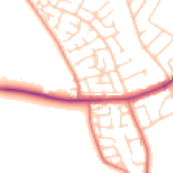
Daytime· 07:00 – 23:00
50.7dB

Night-time· 23:00 – 07:00
40.8dB