32 Leasoweside, Wirral, CH46 2RW
About 32 Leasoweside
32 Leasoweside is a semi-detached house in Wirral (CH46 2RW). It has a recorded floor area of 78 m² (around 840 sq ft), construction records dating it to 1930-1949 and council tax band B. The latest certificate (May 2025) shows a C (score 70). The recommended improvements would push it to B (score 85).
Untraded for 23 years, with the last transfer in December 2002. Across 2001–2002, sale prices on this property compounded at 24.3% per year. Today's modelled estimate of £147,000 sits 157.9% above the 2002 sale of £57,000. On a £-per-square-foot basis, the last sale (£68/sq ft) was about 46.4% below the postcode norm.
Know exactly what you're buying at 32 Leasoweside
Before you offer, see what the listing won't tell you, the true value, the red flags and the full history.
Valuation
against the asking price
Risks
planning & flood
Sold prices
similar homes nearby
Trends
the local market
Energy performance
EPC Rating
Planning history
32 Leasoweside has no planning applications on record.
The full report still covers planning activity across the surrounding area.
Sales history & valuation
32 Leasoweside's estimated value is more than triple its earliest registered sale price (2001).
£147,000
Modelled from EPC, postcode comparables and a sale-price growth of 24.3% per year over 2 years.
£57,000
Growth on file: 24.3% per year over 2 years.
Sales timeline
16 December 2002Most recent
£57,000
+46.3%over 1 year16 March 2001
£38,950
Median price across the last 5 sales in CH46 2RW: £140,500 (2024–2017).
Everything we know about 32 Leasoweside, in one report
What it's really worth, what could be wrong, and the planning, sales and area data in full.
- Am I paying too much?
- Is something wrong with it?
- Is the agent's story true?
- Will it hold its value?

Versus other Leasoweside homes
Price per m² for 32 Leasoweside lags the street by a wide margin.
Price per m²
£731
Street avg £1,675
Floor Area
78 m²
Street avg 95 m²
Habitable Rooms
4 rooms
Street avg 6 rooms
CO₂ Emissions
2.9 t/year
Street avg 4.1 t/year
Similar properties nearby
The neighbourhood at a glance
Reported crime in the wider district is trending notably upward year-on-year.
Crime
4/mo
Rising year-on-year across the wider district.
Nearest stop
0.2 km
Leasoweside — bus stop.
Closest school
0.4 km
Holy Spirit Catholic and Church of England Primary School. 18 schools nearby.
Go deeper on the local area
The full report breaks down crime, transport links, schools and air quality in depth.
Road noise across the postcode
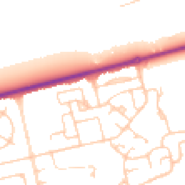
Daytime· 07:00 – 23:00
52.0dB

Night-time· 23:00 – 07:00
42.3dB