9 Gilwell Avenue, Wirral, CH46 0UB
About 9 Gilwell Avenue
9 Gilwell Avenue is a semi-detached house in Wirral (CH46 0UB). It has a recorded floor area of 61 m² (around 657 sq ft), construction records dating it to 1976-1982 and council tax band B. The latest certificate (January 2021) shows a C (score 73). The recommended improvements would push it to B (score 90).
Held since March 2003 — that's 23 years off the open market, well above the local norm. Today's modelled estimate of £190,000 sits 171.6% above the 2003 sale of £69,950. On a £-per-square-foot basis, the last sale (£107/sq ft) was about 37.3% below the postcode norm.
Know exactly what you're buying at 9 Gilwell Avenue
Before you offer, see what the listing won't tell you, the true value, the red flags and the full history.
Valuation
against the asking price
Risks
planning & flood
Sold prices
similar homes nearby
Trends
the local market
Energy performance
EPC Rating
Planning history
9 Gilwell Avenue has no planning applications on record.
The full report still covers planning activity across the surrounding area.
Sales history & valuation
9 Gilwell Avenue valuation sits well clear of the typical sold price in this postcode.
£190,000
Modelled from EPC, postcode comparables.
£69,950
Recorded with HM Land Registry.
Sales timeline
25 March 2003Most recent
£69,950
Median price across the last 5 sales in CH46 0UB: £190,000 (2024–2022).
Nearby sales in CH46 0UB
Everything we know about 9 Gilwell Avenue, in one report
What it's really worth, what could be wrong, and the planning, sales and area data in full.
- Am I paying too much?
- Is something wrong with it?
- Is the agent's story true?
- Will it hold its value?

Versus other Gilwell Avenue homes
Floor Area for 9 Gilwell Avenue lags the street by a wide margin.
Price per m²
£1,147
Street avg £2,122
Floor Area
61 m²
Street avg 72 m²
Habitable Rooms
4 rooms
Street avg 4 rooms
CO₂ Emissions
2.1 t/year
Street avg 2.9 t/year
Similar properties nearby
The neighbourhood at a glance
Reported crime in the wider district is trending notably upward year-on-year.
Crime
4/mo
Rising year-on-year across the wider district.
Nearest stop
0.1 km
Seaforth Drive — bus stop.
Closest school
0.3 km
Moreton Christ Church CofE Primary School. 23 schools nearby.
Go deeper on the local area
The full report breaks down crime, transport links, schools and air quality in depth.
Road noise across the postcode
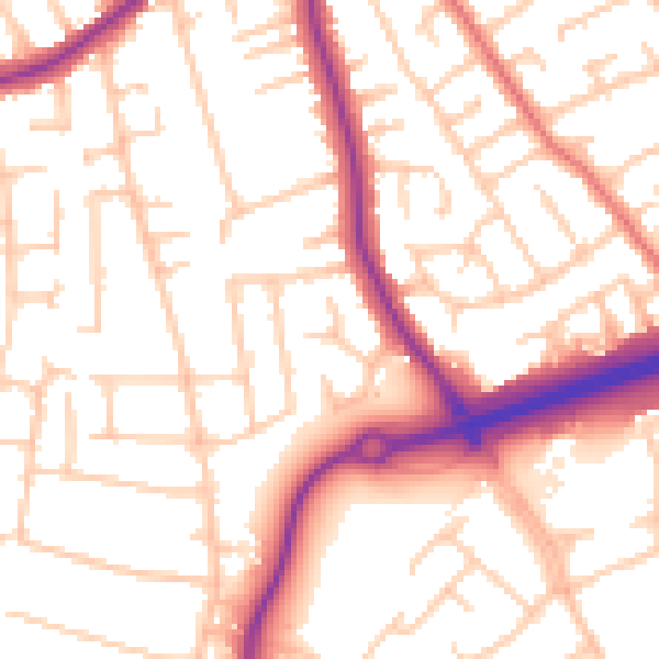
Daytime· 07:00 – 23:00
54.0dB

Night-time· 23:00 – 07:00
44.1dB