19 Briscoe Drive, Wirral, CH46 0TN
About 19 Briscoe Drive
19 Briscoe Drive is a semi-detached house in Wirral (CH46 0TN). It has a recorded floor area of 88 m² (around 947 sq ft), construction records dating it to 1930-1949 and council tax band B. The latest certificate (October 2023) shows a C (score 71). When first surveyed in November 2021 the rating was D, the property has climbed 1 band since. Between certificates, roof efficiency went from Good to Very Good; while hot-water efficiency dropped from Good to Average. The recommended improvements would push it to B (score 90).
It hasn't traded since February 1997, a hold of 29 years that's notably long for the area. Only one transfer is on record with HM Land Registry, suggesting it has stayed in the same hands for a long time. At 88 m² it's 15% larger than the typical home in the postcode (77 m² median across 8 EPCs). On energy efficiency it sits in the top 10% of properties in this postcode. Today's modelled estimate of £236,000 sits 413% above the 1997 sale of £46,000. On a £-per-square-foot basis, the last sale (£49/sq ft) was about 66.4% below the postcode norm.
Know exactly what you're buying at 19 Briscoe Drive
Before you offer, see what the listing won't tell you, the true value, the red flags and the full history.
Valuation
against the asking price
Risks
planning & flood
Sold prices
similar homes nearby
Trends
the local market
Energy performance
19 Briscoe Drive ranks among the most efficient homes in the postcode for energy use.
EPC Rating
Property Improvements
Changes detected from historical EPC data
Hot water system changed
Loft insulation upgraded to recommended levels
Planning history
19 Briscoe Drive has no planning applications on record.
The full report still covers planning activity across the surrounding area.
Sales history & valuation
19 Briscoe Drive's modelled value sits at over four times its earliest registered sale price (1997).
£236,000
Modelled from EPC, postcode comparables.
£46,000
Recorded with HM Land Registry.
Sales timeline
25 February 1997Most recent
£46,000
Median price across the last 5 sales in CH46 0TN: £165,000 (2021–2016).
Everything we know about 19 Briscoe Drive, in one report
What it's really worth, what could be wrong, and the planning, sales and area data in full.
- Am I paying too much?
- Is something wrong with it?
- Is the agent's story true?
- Will it hold its value?

Versus other Briscoe Drive homes
Price per m² for 19 Briscoe Drive lags the street by a wide margin.
Price per m²
£523
Street avg £1,838
Floor Area
88 m²
Street avg 87 m²
Habitable Rooms
5 rooms
Street avg 5 rooms
CO₂ Emissions
3.7 t/year
Street avg 5.2 t/year
Similar properties nearby
The neighbourhood at a glance
Reported crime in the wider district is trending notably upward year-on-year.
Crime
4/mo
Rising year-on-year across the wider district.
Nearest stop
0.1 km
Raby Drive — bus stop.
Closest school
0.4 km
Moreton Christ Church CofE Primary School. 22 schools nearby.
Go deeper on the local area
The full report breaks down crime, transport links, schools and air quality in depth.
Road noise across the postcode
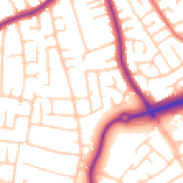
Daytime· 07:00 – 23:00
53.5dB

Night-time· 23:00 – 07:00
43.4dB