7 Bromley Road, Wallasey, CH45 5BR
About 7 Bromley Road
7 Bromley Road is a two-bedroom semi-detached house in Wallasey (CH45 5BR). It has a recorded floor area of 81 m² (around 872 sq ft), construction records dating it to 1950-1966 and council tax band B. The latest certificate (June 2015) shows an E (score 43), well below the UK norm with real room to improve. The recommended improvements would lift it to C (score 79), a 2-band jump. The latest certificate is from June 2015, so improvements made since then won't be reflected. Other recorded features include a conservatory.
Across 1996–2016, sale prices on this property compounded at 5.7% per year. Today's modelled estimate of £176,000 is 14.3% above the 2016 sale price. On a £-per-square-foot basis, the last sale (£177/sq ft) was about 45.8% above the typical sold price in the postcode. Last changed hands 10 years ago, in January 2016.
What this property has
Inside
- Bedrooms2
- Bathrooms1
- Dining roomYes
- ConservatoryYes
Outside
- Private gardenYes
Everything you need to know about 7 Bromley Road
The true value, the hidden risks and the full sale history, in one report.
30-day money-back guarantee

The data behind every report


Energy performance
Recommended upgrades on file would lift this property by multiple EPC bands.
EPC Expired
This certificate is over 10 years old and is no longer valid.Expired 01 Jun 2025
EPC Rating
Get a survey for this property
Level 3 Building Survey
Because the property has solid (non-cavity) walls, we believe a Level 3 building survey should be considered.
From £820 · Includes VAT
Planning history
7 Bromley Road has no planning applications on record.
The full report still covers planning activity across the surrounding area.
Sales history & valuation
Sale price has at least doubled since 1996.
£176,000
Modelled from EPC, postcode comparables and a sale-price growth of 5.7% per year over 19 years.
£154,000
Growth on file: 5.7% per year over 19 years.
Sales timeline
29 January 2016Most recent
£154,000
+196.2%over 19 years12 August 1996
£52,000
Median price across the last 5 sales in CH45 5BR: £190,000 (2025–2017).
Nearby sales in CH45 5BR
Versus other Bromley Road homes
EPC Rating for 7 Bromley Road lags the street by a wide margin.
Price per m²
£1,901
Street avg £1,820
Floor Area
81 m²
Street avg 93 m²
Habitable Rooms
4 rooms
Street avg 5 rooms
CO₂ Emissions
5.8 t/year
Street avg 5.2 t/year
Everything you need to know about 7 Bromley Road
The true value, the hidden risks and the full sale history, in one report.
30-day money-back guarantee
The data behind every report
Similar properties nearby
The neighbourhood at a glance
Rail-style transport is unusually close for this postcode.
Crime
5/mo
Steady year-on-year across the wider district.
Nearest stop
0.2 km
Glen Park Road — bus stop.
Closest school
0.3 km
SS Peter and Paul Catholic Primary School, a Voluntary Academy. 17 schools nearby.
Go deeper on the local area
The full report breaks down crime, transport links, schools and air quality in depth.
Road noise across the postcode
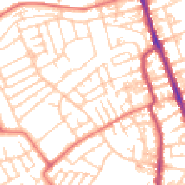
Daytime· 07:00 – 23:00
52.9dB

Night-time· 23:00 – 07:00
40.7dB