13 Pennine Road, Birkenhead, CH42 6SA
About 13 Pennine Road
13 Pennine Road is a two-bedroom semi-detached house in Birkenhead (CH42 6SA). It has a recorded floor area of 69 m² (around 743 sq ft), construction records dating it to 1950-1966 and council tax band A. The latest certificate (July 2020) shows a D (score 64), on the cusp of jumping into the C band. The recommended improvements would lift it to B (score 84), a 2-band jump. Other recorded features include a conservatory. The home occupies a corner plot.
Across 1996–2020, sale prices on this property compounded at 5.7% per year. Today's modelled estimate of £188,000 is 29.7% above the 2020 sale price. On a £-per-square-foot basis, the last sale (£195/sq ft) was about 39.5% above the typical sold price in the postcode. At 69 m² it's 15.3% smaller than the typical home in the postcode (82 m² median across 26 EPCs). Last sale on file: £145,000 in October 2020.
What this property has
Inside
- Bedrooms2
- Bathrooms1
- EnsuiteYes
- ConservatoryYes
Outside
- Private gardenYes
- ParkingOff road
- Corner plotYes
Everything you need to know about 13 Pennine Road
The true value, the hidden risks and the full sale history, in one report.
30-day money-back guarantee

The data behind every report


Energy performance
Recommended upgrades on file would lift this property by multiple EPC bands.
EPC Rating
Planning history
13 Pennine Road has no planning applications on record.
The full report still covers planning activity across the surrounding area.
Sales history & valuation
13 Pennine Road has more than tripled in price since its earliest registered sale in 1996.
£188,000
Modelled from EPC, postcode comparables and a sale-price growth of 5.7% per year over 24 years.
£145,000
Growth on file: 5.7% per year over 24 years.
Sales timeline
18 October 2020Most recent
£145,000
+276.6%over 24 years2 September 1996
£38,500
Median price across the last 5 sales in CH42 6SA: £165,000 (2025–2020).
Nearby sales in CH42 6SA
Versus other Pennine Road homes
On floor area, 13 Pennine Road runs well behind the street norm.
Price per m²
£2,101
Street avg £1,794
Floor Area
69 m²
Street avg 75 m²
Habitable Rooms
3 rooms
Street avg 4 rooms
CO₂ Emissions
2.9 t/year
Street avg 3.1 t/year
Everything you need to know about 13 Pennine Road
The true value, the hidden risks and the full sale history, in one report.
30-day money-back guarantee
The data behind every report
Similar properties nearby
1 Cheviot Close
CH42 6SY
1 Wycherley Road
CH42 6PB
1 St Georges Avenue
CH42 6PZ
1 Bankville Road
CH42 6PL
1 Cressington Avenue
CH42 6QJ
1 Mallory Road
CH42 6QP
1 Pennine Road
CH42 6SA
1 Everest Road
CH42 6QT
The neighbourhood at a glance
Crime
8/mo
Steady year-on-year across the wider district.
Nearest stop
0.1 km
Harley Avenue — bus stop.
Closest school
0.5 km
Prenton High School for Girls. 34 schools nearby.
Go deeper on the local area
The full report breaks down crime, transport links, schools and air quality in depth.
Road noise across the postcode
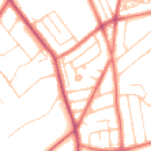
Daytime· 07:00 – 23:00
51.2dB

Night-time· 23:00 – 07:00
40.2dB