37 Derby Road, Birkenhead, CH42 0HX
About 37 Derby Road
37 Derby Road is a three-bedroom semi-detached house in Birkenhead (CH42 0HX). It has a recorded floor area of 111 m² (around 1195 sq ft), construction records dating it to before 1900 and council tax band A. The latest certificate (September 2020) shows a D (score 60), on the cusp of jumping into the C band. The rating has held steady at D across 2 certificates since September 2020. The recommended improvements would lift it to B (score 82), a 2-band jump.
At 111 m² it's 29.1% larger than the typical home in the postcode (86 m² median across 9 EPCs). Today's modelled estimate of £162,000 is 40.3% above the 2021 sale price. On a £-per-square-foot basis, the last sale (£97/sq ft) was about 115% above the typical sold price in the postcode. Sold August 2021 for £115,500. That sale was during the post-pandemic price surge, when transactions cleared materially above pre-2020 trend.
What this property has
Inside
- Bedrooms3
- Bathrooms1
Building
- RefurbishedYes
Everything you need to know about 37 Derby Road
The true value, the hidden risks and the full sale history, in one report.
30-day money-back guarantee

The data behind every report


Energy performance
Recommended upgrades on file would lift this property by multiple EPC bands.
EPC Rating
Planning history
37 Derby Road has no planning applications on record.
Notable planning nearby
2applications of note in the surrounding area
We flagged 1 thing worth checking at 37 Derby Road
Independent checks surfaced things a buyer would want to understand before offering. The report explains each one in full, with the underlying data and what to ask.
- Larger development activity nearby
30-day money-back guarantee
Sales history & valuation
Latest sale on 37 Derby Road was the highest on Land Registry record across the postcode.
£162,000
Modelled from EPC, postcode comparables.
£115,500
Recorded with HM Land Registry.
Sales timeline
31 August 2021Most recent
£115,500
Median price across the last 5 sales in CH42 0HX: £44,000 (2023–2011).
Versus other Derby Road homes
On price per m², 37 Derby Road stands well clear of the street.
Price per m²
£1,041
Street avg £607
Floor Area
111 m²
Street avg 80 m²
Habitable Rooms
5 rooms
Street avg 4 rooms
CO₂ Emissions
5.2 t/year
Street avg 3.8 t/year
Everything you need to know about 37 Derby Road
The true value, the hidden risks and the full sale history, in one report.
30-day money-back guarantee
The data behind every report
Similar properties nearby
The neighbourhood at a glance
Crime
8/mo
Steady year-on-year across the wider district.
Nearest stop
0.0 km
Elm Grove — bus stop.
Closest school
0.3 km
Woodlands Primary School. 29 schools nearby.
Go deeper on the local area
The full report breaks down crime, transport links, schools and air quality in depth.
Road noise across the postcode
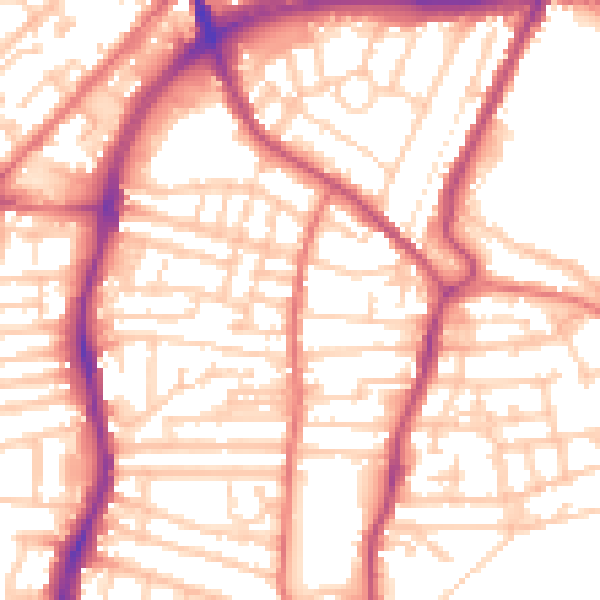
Daytime· 07:00 – 23:00
55.3dB

Night-time· 23:00 – 07:00
44.3dB