9a, Cambridge Road, Ely, CB7 4HJ
About 9a
9a is a two-bedroom detached house in Ely (CB7 4HJ). It has a recorded floor area of 142 m² (around 1528 sq ft), construction records dating it to 1950-1966 and council tax band D. The latest certificate (June 2025) shows a D (score 63), on the cusp of jumping into the C band. When first surveyed in February 2009 the rating was E, the property has climbed 1 band since. Between certificates, lighting went from Average to Very Good; while roof efficiency dropped from Good to Very Poor. The recommended improvements would push it to C (score 76).
Untraded for 27 years, with the last transfer in August 1999. Only one transfer is on record with HM Land Registry, suggesting it has stayed in the same hands for a long time. At 142 m² the property is well over the postcode median (105 m² across 28 EPCs), placing it in the larger end of the local stock. Today's modelled estimate of £559,000 sits 328.4% above the 1999 sale of £130,500. On a £-per-square-foot basis, the last sale (£85/sq ft) was about 58.9% below the postcode norm. 2 planning records sit against the property, 1 approved, 0 refused. Past consents include an extension and a porch, meaningful when judging how the property has evolved.
Know exactly what you're buying at 9a
Before you offer, see what the listing won't tell you, the true value, the red flags and the full history.
Already flagged here
Valuation
against the asking price
Risks
planning & flood
Sold prices
similar homes nearby
Trends
the local market
What this property has
Inside
- Bedrooms2
- Bathrooms2
Outside
- GarageYes
Building
- Central heatingYes
Energy performance
9a's carbon output runs well above what efficient homes in the postcode produce.
EPC Rating
Property Improvements
Changes detected from historical EPC data
Cavity wall insulation installed
Floor insulation added or improved
More low energy lighting installed
Windows upgraded, improving insulation
Planning history
- Apr 2025Tree WorksTreesIn report
T1 Elder on front boundary - Reduce height by 2m and re-shape T2 Cherry on front boundary - Reduce height and spread by up to 1.5m to shape round. Remove Ivy throughout. Trim to clear adjacent house T4 Laurel - Reduce by 1.5m to shape round
- Documents
- 3 docs on file
- Reference
- 25/00268/TRE
- Feb 2024PorchFullIn report
Extension: Single storey · Side of property
Construct single storey side extension following demolition of existing lean to, new front porch, new pitch roof on garage ,external rendering plus additional external works including changes to rear roof configuration
Extension- Documents
- 24 docs on file
- Reference
- 23/01323/FUL
We flagged 1 thing worth checking at 9a
Independent checks surfaced things a buyer would want to understand before offering. The report explains each one in full, with the underlying data and what to ask.
- Larger development activity nearby
30-day money-back guarantee
Sales history & valuation
9a's modelled value sits at over four times its earliest registered sale price (1999).
£559,000
Modelled from EPC, postcode comparables.
£130,500
Recorded with HM Land Registry.
Sales timeline
24 August 1999Most recent
£130,500
Median price across the last 5 sales in CB7 4HJ: £735,000 (2025–2022).
Everything we know about 9a, in one report
What it's really worth, what could be wrong, and the planning, sales and area data in full.
What we flagged
- Larger development activity nearby

Versus other Cambridge Road homes
9a is notably below the street on price per m².
Price per m²
£919
Street avg £2,873
Floor Area
142 m²
Street avg 118 m²
Habitable Rooms
7 rooms
Street avg 6 rooms
CO₂ Emissions
6.0 t/year
Street avg 6.1 t/year
Similar properties nearby
1 Charles Graven Court
CB7 4FN
1 Bohemond Street
CB7 4PP
1 Beech Lane
CB7 4QZ
1 Carey Close
CB7 4QX
1 Cardinals Terrace
CB7 4GE
1 Buckthorn
CB7 4TN
1 Annesdale
CB7 4BN
1 Brimstone Drive
CB7 4ZB
The neighbourhood at a glance
Rail-style transport is unusually close for this postcode.
Crime
4/mo
Steady year-on-year across the wider district.
Nearest stop
1.0 km
Ely Rail Station — railway station.
Closest school
0.7 km
Ely St John's Community Primary School. 7 schools nearby.
Go deeper on the local area
The full report breaks down crime, transport links, schools and air quality in depth.
Road noise across the postcode
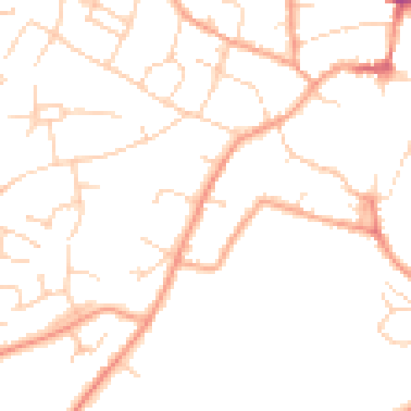
Daytime· 07:00 – 23:00
48.1dB

Night-time· 23:00 – 07:00
38.2dB