5 Apthorpe Way, Cambridge, CB4 2NJ
About 5 Apthorpe Way
5 Apthorpe Way is a mid-terrace house in Cambridge (CB4 2NJ). It has a recorded floor area of 84 m² (around 904 sq ft), construction records dating it to 1950-1966 and council tax band C. The latest certificate (October 2023) shows a C (score 73). The recommended improvements would push it to B (score 85).
On a £-per-square-foot basis, the last sale (£406/sq ft) was about 99.6% above the typical sold price in the postcode. Last sale on file: £367,000 in October 2023.
Know exactly what you're buying at 5 Apthorpe Way
Before you offer, see what the listing won't tell you, the true value, the red flags and the full history.
Already flagged here
Valuation
against the asking price
Risks
planning & flood
Sold prices
similar homes nearby
Trends
the local market
Energy performance
EPC Rating
Planning history
5 Apthorpe Way has no planning applications on record.
Notable planning nearby
14applications of note in the surrounding area
We flagged 2 things worth checking at 5 Apthorpe Way
Independent checks surfaced things a buyer would want to understand before offering. The report explains each one in full, with the underlying data and what to ask.
- Signs of HMO activity in the area
- Larger development activity nearby
30-day money-back guarantee
Sales history & valuation
5 Apthorpe Way valuation sits well clear of the typical sold price in this postcode.
£372,000
Modelled from EPC, postcode comparables.
£367,000
Recorded with HM Land Registry.
Sales timeline
26 October 2023Most recent
£367,000
Median price across the last 5 sales in CB4 2NJ: £403,000 (2025–2021).
Nearby sales in CB4 2NJ
Everything we know about 5 Apthorpe Way, in one report
What it's really worth, what could be wrong, and the planning, sales and area data in full.
What we flagged
- Signs of HMO activity in the area
- Larger development activity nearby

Versus other Apthorpe Way homes
5 Apthorpe Way outperforms the street on price per m² by a wide margin.
Price per m²
£4,369
Street avg £2,893
Floor Area
84 m²
Street avg 90 m²
Habitable Rooms
5 rooms
Street avg 5 rooms
CO₂ Emissions
2.6 t/year
Street avg 3.2 t/year
Similar properties nearby
The neighbourhood at a glance
Crime
7/mo
Steady year-on-year across the wider district.
Nearest stop
1.4 km
Cambridge North Rail Station — railway station.
Closest school
0.6 km
The Grove Primary School. 20 schools nearby.
Go deeper on the local area
The full report breaks down crime, transport links, schools and air quality in depth.
Road noise across the postcode
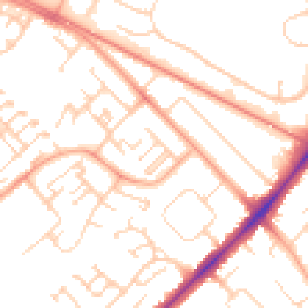
Daytime· 07:00 – 23:00
52.2dB

Night-time· 23:00 – 07:00
42.1dB